Qinghaihu geodata
Qinghaihu (Qinghai) is a seat of a fourth-order administrative division; located in China in Asia/Shanghai (GMT+8) time zone. In our database, there are 1268 cities with bigger population. Compared to other cities in China, 78.8% of cities are located further ↓South; 93.9% of cities are located further →East and 97.4% of cities have lower elevation than Qinghaihu. Note1


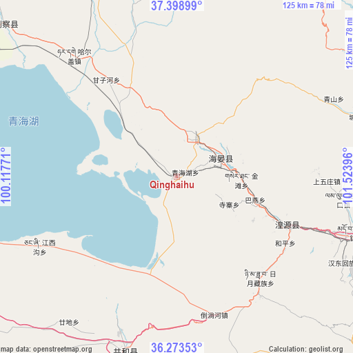
Qinghaihu GPS coordinates[2]
36° 50' 17.988" North, 100° 49' 14.988" East
| Map corner | latitude | longitude |
|---|---|---|
| Upper-left | 37.39899°, | 100.11771° |
| Center: | 36.83833°, | 100.82083° |
| Lower-right: | 36.27353°, | 101.52396° |
| Map W x H: | 125.1×125.1 km | = 77.7×77.7mi |
| max Lat: | 53.31946° ⇑21.2% North |
| Qinghaihu: | 36.83833° |
| min Lat: | ⇓78.8% South 18.22056° |
| min Long | Qinghaihu | max Long |
| 75.07348° | 100.82083° | 134.28917° |
| W 6.1%⇐ | ⇒93.9% E |
Elevation
Elevation of Qinghaihu is 3312 m = 10866 ft, and this is 2827.2 m = 9276 ft above average elevation for this country.
| Max E: |
5622 m = 18445 ft | 2.6% |
| Qinghaihu | 3312 m 10866 ft | |
| Avg. | 484.8 m = 1591 ft | |
Min E: |
-3 m = -10 ft | 97.4% |
See also: China elevation on elevation.city.
Geographical zone
Qinghaihu is located in North temperate zone (between Tropic of Cancer and the Arctic Circle). Distance of this Northern Tropic circle is 1490.1 km =925.9 mi to South.| Distance of | km | miles | from Qinghaihu |
|---|---|---|---|
| North Pole | 5911 | 3672.9 | to North |
| Arctic Circle | 3305.1 | 2053.7 | to North |
| Tropic Cancer | 1490.1 | 925.9 | to South |
| Equator | 4096 | 2545.1 | to South |


Nearby cities:
15 places around Qinghaihu: (largest is in red/bold)
• Bayan
28.8 km =17.9 mi,  106°
106°
• Dahua
38.5 km =23.9 mi, 114°
• Daotanghe
50.5 km =31.4 mi,  165°
165°
• Dongxia
48.2 km =30 mi, 111°
• Heping
43.7 km =27.2 mi,  121°
121°
• Huangyuan Chengguanzhen
43.5 km =27 mi, 112°
• Jiangxigou
54.4 km =33.8 mi,  245°
245°
• Riyue
44.7 km =27.8 mi,  138°
138°
• Sanjiaocheng
17 km =10.6 mi,  69°
69°
• Shangwuzhuang
53.5 km =33.2 mi,  88°
88°
• Shenzhong
35 km =21.7 mi, 111°
• Sizhai
21.2 km =13.2 mi, 120°
• Tawan
30.7 km =19.1 mi, 122°
• Tumba
51.2 km =31.8 mi,  185°
185°
• Tuohua
29.6 km =18.4 mi,  335°
335°
Sources, notices
• [Note1] Compared only with cities in China existing in our database
• [Src1] Map data: © OpenStreetMap contributors (CC-BY-SA)
• [Src2] Other city data from geonames.org with taken over terms of usage.
• [Src3] Geographical zone / Annual Mean Temperature by Robert A. Rohde @ Wikipedia
