Tuohua geodata
Tuohua (Jiangsu) is a seat of a fourth-order administrative division; located in China in Asia/Shanghai (GMT+8) time zone. In our database, there are 1268 cities with bigger population. Compared to other cities in China, 79.4% of cities are located further ↓South; 94% of cities are located further →East and 97.6% of cities have lower elevation than Tuohua. Note1


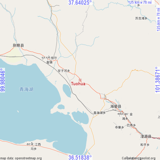
Tuohua GPS coordinates[2]
37° 4' 53.004" North, 100° 41' 0.888" East
| Map corner | latitude | longitude |
|---|---|---|
| Upper-left | 37.64025°, | 99.98046° |
| Center: | 37.08139°, | 100.68358° |
| Lower-right: | 36.51838°, | 101.38671° |
| Map W x H: | 124.7×124.7 km | = 77.5×77.5mi |
| max Lat: | 53.31946° ⇑20.6% North |
| Tuohua: | 37.08139° |
| min Lat: | ⇓79.4% South 18.22056° |
| min Long | Tuohua | max Long |
| 75.07348° | 100.68358° | 134.28917° |
| W 6%⇐ | ⇒94% E |
Elevation
Elevation of Tuohua is 3429 m = 11250 ft, and this is 2944.2 m = 9659 ft above average elevation for this country.
| Max E: |
5622 m = 18445 ft | 2.4% |
| Tuohua | 3429 m 11250 ft | |
| Avg. | 484.8 m = 1591 ft | |
Min E: |
-3 m = -10 ft | 97.6% |
See also: China elevation on elevation.city.
Geographical zone
Tuohua is located in North temperate zone (between Tropic of Cancer and the Arctic Circle). Distance of this Northern Tropic circle is 1517.1 km =942.7 mi to South.| Distance of | km | miles | from Tuohua |
|---|---|---|---|
| North Pole | 5884 | 3656.1 | to North |
| Arctic Circle | 3278.1 | 2036.9 | to North |
| Tropic Cancer | 1517.1 | 942.7 | to South |
| Equator | 4123.1 | 2562 | to South |


Nearby cities:
15 places around Tuohua: (largest is in red/bold)
• Bayan
53.1 km =33 mi,  131°
131°
• Dahua
63.9 km =39.7 mi, 132°
• Duolin
68.5 km =42.6 mi,  90°
90°
• Hairag
28.5 km =17.7 mi,  303°
303°
• Heping
70.1 km =43.6 mi,  135°
135°
• Huangyuan Chengguanzhen
68.2 km =42.4 mi, 129°
• Jiangxigou
62.1 km =38.6 mi,  216°
216°
• Muri
67.7 km =42.1 mi,  3°
3°
• Qinghaihu
29.6 km =18.4 mi,  155°
155°
• Sanjiaocheng
35.2 km =21.9 mi, 127°
• Shaliuhe
55.7 km =34.6 mi, 299°
• Shenzhong
59.8 km =37.2 mi, 131°
• Sizhai
48.5 km =30.1 mi, 140°
• Sujitan
66.9 km =41.6 mi,  43°
43°
• Tawan
57.8 km =35.9 mi, 138°
Sources, notices
• [Note1] Compared only with cities in China existing in our database
• [Src1] Map data: © OpenStreetMap contributors (CC-BY-SA)
• [Src2] Other city data from geonames.org with taken over terms of usage.
• [Src3] Geographical zone / Annual Mean Temperature by Robert A. Rohde @ Wikipedia
