Nyinqug geodata
Nyinqug (Qinghai) is a seat of a fourth-order administrative division; located in China in Asia/Shanghai (GMT+8) time zone. In our database, there are 1268 cities with bigger population. Compared to other cities in China, 75.5% of cities are located further ↓South; 93.9% of cities are located further →East and 97.5% of cities have lower elevation than Nyinqug. Note1


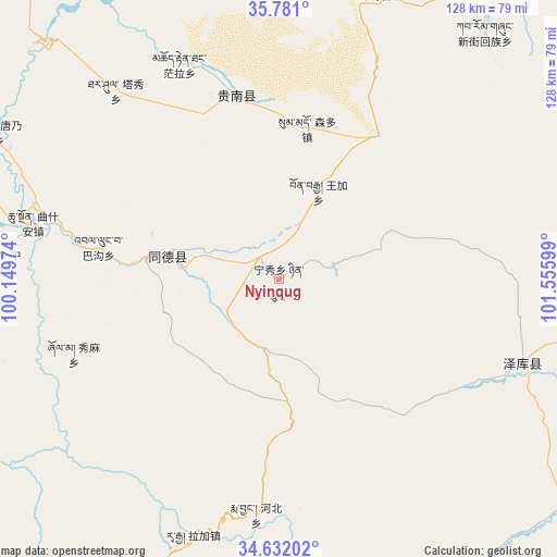
Nyinqug GPS coordinates[2]
35° 12' 30.744" North, 100° 51' 10.296" East
| Map corner | latitude | longitude |
|---|---|---|
| Upper-left | 35.781°, | 100.14974° |
| Center: | 35.20854°, | 100.85286° |
| Lower-right: | 34.63202°, | 101.55599° |
| Map W x H: | 127.8×127.8 km | = 79.4×79.4mi |
| max Lat: | 53.31946° ⇑24.5% North |
| Nyinqug: | 35.20854° |
| min Lat: | ⇓75.5% South 18.22056° |
| min Long | Nyinqug | max Long |
| 75.07348° | 100.85286° | 134.28917° |
| W 6.1%⇐ | ⇒93.9% E |
Elevation
Elevation of Nyinqug is 3376 m = 11076 ft, and this is 2891.2 m = 9486 ft above average elevation for this country.
| Max E: |
5622 m = 18445 ft | 2.5% |
| Nyinqug | 3376 m 11076 ft | |
| Avg. | 484.8 m = 1591 ft | |
Min E: |
-3 m = -10 ft | 97.5% |
See also: China elevation on elevation.city.
Geographical zone
Nyinqug is located in North temperate zone (between Tropic of Cancer and the Arctic Circle). Distance of this Northern Tropic circle is 1308.9 km =813.3 mi to South.| Distance of | km | miles | from Nyinqug |
|---|---|---|---|
| North Pole | 6092.2 | 3785.5 | to North |
| Arctic Circle | 3486.4 | 2166.3 | to North |
| Tropic Cancer | 1308.9 | 813.3 | to South |
| Equator | 3914.8 | 2432.5 | to South |


Nearby cities:
15 places around Nyinqug: (largest is in red/bold)
• Bagou
42 km =26.1 mi,  279°
279°
• Gabasumdo
28.1 km =17.5 mi, 281°
• Gomang
32.7 km =20.3 mi,  264°
264°
• Guomaying
71 km =44.1 mi,  19°
19°
• Hor
12.4 km =7.7 mi,  77°
77°
• Mangqu
42.9 km =26.7 mi,  347°
347°
• Qiakeri
59.2 km =36.8 mi,  108°
108°
• Quedantang
54.2 km =33.7 mi,  334°
334°
• Qushi’an
57.8 km =35.9 mi, 283°
• Sumdo
35.2 km =21.9 mi,  11°
11°
• Tanggan
40 km =24.9 mi,  269°
269°
• Taxiu
57.1 km =35.5 mi,  319°
319°
• Wangjia
22.3 km =13.9 mi, 24°
• Xiuma
50.3 km =31.3 mi,  250°
250°
• Zhongtie
65.5 km =40.7 mi, 273°
Sources, notices
• [Note1] Compared only with cities in China existing in our database
• [Src1] Map data: © OpenStreetMap contributors (CC-BY-SA)
• [Src2] Other city data from geonames.org with taken over terms of usage.
• [Src3] Geographical zone / Annual Mean Temperature by Robert A. Rohde @ Wikipedia
