Hor geodata
Hor (Qinghai) is a seat of a fourth-order administrative division; located in China in Asia/Shanghai (GMT+8) time zone. In our database, there are 1268 cities with bigger population. Compared to other cities in China, 75.5% of cities are located further ↓South; 93.8% of cities are located further →East and 97.7% of cities have lower elevation than Hor. Note1


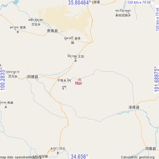
Hor GPS coordinates[2]
35° 13' 56.46" North, 100° 59' 11.832" East
| Map corner | latitude | longitude |
|---|---|---|
| Upper-left | 35.80464°, | 100.2835° |
| Center: | 35.23235°, | 100.98662° |
| Lower-right: | 34.656°, | 101.68975° |
| Map W x H: | 127.7×127.7 km | = 79.3×79.3mi |
| max Lat: | 53.31946° ⇑24.5% North |
| Hor: | 35.23235° |
| min Lat: | ⇓75.5% South 18.22056° |
| min Long | Hor | max Long |
| 75.07348° | 100.98662° | 134.28917° |
| W 6.2%⇐ | ⇒93.8% E |
Elevation
Elevation of Hor is 3461 m = 11355 ft, and this is 2976.2 m = 9764 ft above average elevation for this country.
| Max E: |
5622 m = 18445 ft | 2.3% |
| Hor | 3461 m 11355 ft | |
| Avg. | 484.8 m = 1591 ft | |
Min E: |
-3 m = -10 ft | 97.7% |
See also: China elevation on elevation.city.
Geographical zone
Hor is located in North temperate zone (between Tropic of Cancer and the Arctic Circle). Distance of this Northern Tropic circle is 1311.6 km =815 mi to South.| Distance of | km | miles | from Hor |
|---|---|---|---|
| North Pole | 6089.6 | 3783.9 | to North |
| Arctic Circle | 3483.7 | 2164.7 | to North |
| Tropic Cancer | 1311.6 | 815 | to South |
| Equator | 3917.5 | 2434.2 | to South |


Nearby cities:
15 places around Hor: (largest is in red/bold)
• Bagou
53.7 km =33.4 mi,  274°
274°
• Gabasumdo
39.8 km =24.7 mi, 274°
• Gomang
45.1 km =28 mi,  262°
262°
• Guomaying
65.3 km =40.6 mi,  9°
9°
• Mangqu
44.7 km =27.8 mi,  331°
331°
• Nyinqug
12.4 km =7.7 mi, 257°
• Qiakeri
48.9 km =30.4 mi,  115°
115°
• Quedantang
58.2 km =36.2 mi,  322°
322°
• Sumdo
32.2 km =20 mi,  351°
351°
• Tanggan
52.3 km =32.5 mi, 266°
• Taxiu
64 km =39.8 mi,  309°
309°
• Wangjia
18 km =11.2 mi, 350°
• Xibusha
68.6 km =42.6 mi,  109°
109°
• Xinjie
64.2 km =39.9 mi,  33°
33°
• Xiuma
62.6 km =38.9 mi,  251°
251°
Sources, notices
• [Note1] Compared only with cities in China existing in our database
• [Src1] Map data: © OpenStreetMap contributors (CC-BY-SA)
• [Src2] Other city data from geonames.org with taken over terms of usage.
• [Src3] Geographical zone / Annual Mean Temperature by Robert A. Rohde @ Wikipedia
