Miyang geodata
Miyang (Yunnan) is a seat of a third-order administrative division; located in China in Asia/Shanghai (GMT+8) time zone. With population of 72,485 people, there are 592 cities with bigger population in this country. Compared to other cities in China, 88.8% of cities are located further ↑North; 91% of cities are located further →East and 90.8% of cities have lower elevation than Miyang. Note1


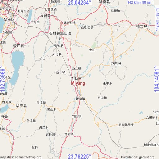
Miyang GPS coordinates[2]
24° 24' 15.012" North, 103° 26' 34.008" East
| Map corner | latitude | longitude |
|---|---|---|
| Upper-left | 25.04284°, | 102.73966° |
| Center: | 24.40417°, | 103.44278° |
| Lower-right: | 23.76225°, | 104.14591° |
| Map W x H: | 142.4×142.4 km | = 88.5×88.5mi |
| max Lat: | 53.31946° ⇑88.8% North |
| Miyang: | 24.40417° |
| min Lat: | ⇓11.2% South 18.22056° |
| min Long | Miyang | max Long |
| 75.07348° | 103.44278° | 134.28917° |
| W 9%⇐ | ⇒91% E |
Elevation
Elevation of Miyang is 1433 m = 4701 ft, and this is 948.2 m = 3111 ft above average elevation for this country.
| Max E: |
5622 m = 18445 ft | 9.2% |
| Miyang | 1433 m 4701 ft | |
| Avg. | 484.8 m = 1591 ft | |
Min E: |
-3 m = -10 ft | 90.8% |
See also: Miyang elevation on elevation.city.
Geographical zone
Miyang is located in North temperate zone (between Tropic of Cancer and the Arctic Circle). Distance of this Northern Tropic circle is 107.6 km =66.9 mi to South.| Distance of | km | miles | from Miyang |
|---|---|---|---|
| North Pole | 7293.6 | 4532 | to North |
| Arctic Circle | 4687.7 | 2912.8 | to North |
| Tropic Cancer | 107.6 | 66.9 | to South |
| Equator | 2713.5 | 1686.1 | to South |


Nearby cities:
15 places around Miyang: (largest is in red/bold)
• Dake
31.3 km =19.4 mi,  318°
318°
• Daxinshao
18.2 km =11.3 mi,  177°
177°
• Hongxi
31.4 km =19.5 mi,  203°
203°
• Huakoulongtan
11.2 km =7 mi,  344°
344°
• Lufu
43.4 km =27 mi, 335°
• Majie
36.5 km =22.7 mi,  329°
329°
• Qinglong
46.8 km =29.1 mi,  275°
275°
• Qingnianlu
40.3 km =25 mi,  240°
240°
• Sijia
36.5 km =22.7 mi,  223°
223°
• Tonghong
38.5 km =23.9 mi,  259°
259°
• Weize
34 km =21.1 mi,  353°
353°
• Xilong
26.9 km =16.7 mi,  273°
273°
• Youzha
18.4 km =11.4 mi,  292°
292°
• Zhongshu
35.1 km =21.8 mi,  69°
69°
• Zhuyuan
33 km =20.5 mi, 184°
Sources, notices
• [Note1] Compared only with cities in China existing in our database
• [Src1] Map data: © OpenStreetMap contributors (CC-BY-SA)
• [Src2] Other city data from geonames.org with taken over terms of usage.
• [Src3] Geographical zone / Annual Mean Temperature by Robert A. Rohde @ Wikipedia
