Lufu geodata
Lufu (Yunnan) is a seat of a third-order administrative division; located in China in Asia/Shanghai (GMT+8) time zone. In our database, there are 1268 cities with bigger population. Compared to other cities in China, 87.4% of cities are located further ↑North; 91.2% of cities are located further →East and 92.8% of cities have lower elevation than Lufu. Note1


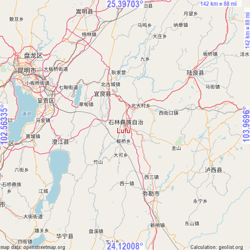
Lufu GPS coordinates[2]
24° 45' 36.72" North, 103° 15' 59.292" East
| Map corner | latitude | longitude |
|---|---|---|
| Upper-left | 25.39703°, | 102.56335° |
| Center: | 24.7602°, | 103.26647° |
| Lower-right: | 24.12008°, | 103.9696° |
| Map W x H: | 142×142 km | = 88.2×88.2mi |
| max Lat: | 53.31946° ⇑87.4% North |
| Lufu: | 24.7602° |
| min Lat: | ⇓12.6% South 18.22056° |
| min Long | Lufu | max Long |
| 75.07348° | 103.26647° | 134.28917° |
| W 8.8%⇐ | ⇒91.2% E |
Elevation
Elevation of Lufu is 1681 m = 5515 ft, and this is 1196.2 m = 3925 ft above average elevation for this country.
| Max E: |
5622 m = 18445 ft | 7.2% |
| Lufu | 1681 m 5515 ft | |
| Avg. | 484.8 m = 1591 ft | |
Min E: |
-3 m = -10 ft | 92.8% |
See also: China elevation on elevation.city.
Geographical zone
Lufu is located in North temperate zone (between Tropic of Cancer and the Arctic Circle). Distance of this Northern Tropic circle is 147.2 km =91.5 mi to South.| Distance of | km | miles | from Lufu |
|---|---|---|---|
| North Pole | 7254 | 4507.4 | to North |
| Arctic Circle | 4648.1 | 2888.2 | to North |
| Tropic Cancer | 147.2 | 91.5 | to South |
| Equator | 2753.1 | 1710.7 | to South |


Nearby cities:
15 places around Lufu: (largest is in red/bold)
• Beidacun Xiaozhai
14.4 km =8.9 mi,  40°
40°
• Beigucheng
26.4 km =16.4 mi,  341°
341°
• Caodianjie
25 km =15.5 mi,  299°
299°
• Dake
16.3 km =10.1 mi,  189°
189°
• Goujie
13 km =8.1 mi,  284°
284°
• Huakoulongtan
32.4 km =20.1 mi,  152°
152°
• Jiulong
29.9 km =18.6 mi,  255°
255°
• Kuangyuan
20.9 km =13 mi,  324°
324°
• Majie
8.3 km =5.2 mi, 185°
• Nanyang
16.5 km =10.3 mi,  306°
306°
• Shilin
9.3 km =5.8 mi,  45°
45°
• Suyang
21.6 km =13.4 mi, 323°
• Tangchijie
32.5 km =20.2 mi, 313°
• Weize
15.2 km =9.4 mi,  112°
112°
• Yangzongnan Hengjie
30.8 km =19.1 mi, 282°
Sources, notices
• [Note1] Compared only with cities in China existing in our database
• [Src1] Map data: © OpenStreetMap contributors (CC-BY-SA)
• [Src2] Other city data from geonames.org with taken over terms of usage.
• [Src3] Geographical zone / Annual Mean Temperature by Robert A. Rohde @ Wikipedia
