Mingguang geodata
Mingguang (Anhui) is a populated place; located in China in Asia/Shanghai (GMT+8) time zone. With population of 68,351 people, there are 626 cities with bigger population in this country. Compared to other cities in China, 65.1% of cities are located further ↓South; 70.5% of cities are located further ←West and 84.9% of cities have higher elevation than Mingguang. Note1


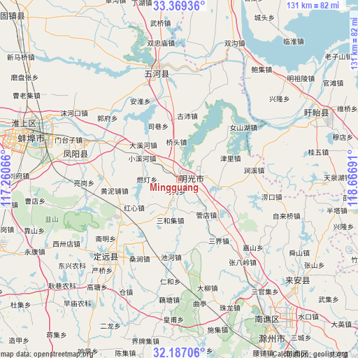
Mingguang GPS coordinates[2]
32° 46' 48.612" North, 117° 57' 49.608" East
| Map corner | latitude | longitude |
|---|---|---|
| Upper-left | 33.36936°, | 117.26066° |
| Center: | 32.78017°, | 117.96378° |
| Lower-right: | 32.18706°, | 118.66691° |
| Map W x H: | 131.5×131.5 km | = 81.7×81.7mi |
| max Lat: | 53.31946° ⇑34.9% North |
| Mingguang: | 32.78017° |
| min Lat: | ⇓65.1% South 18.22056° |
| min Long | Mingguang | max Long |
| 75.07348° | 117.96378° | 134.28917° |
| W 70.5%⇐ | ⇒29.5% E |
Elevation
Elevation of Mingguang is 16 m = 52 ft, and this is 468.8 m = 1538 ft below average elevation for this country.
| Max E: |
5622 m = 18445 ft | 84.9% |
| Avg. | 484.8 m = 1591 ft | |
| Mingguang | 16 m = 52 ft | |
Min E: |
-3 m = -10 ft | 15.1% |
See also: Mingguang elevation on elevation.city.
Geographical zone
Mingguang is located in North temperate zone (between Tropic of Cancer and the Arctic Circle). Distance of this Northern Tropic circle is 1038.9 km =645.5 mi to South.| Distance of | km | miles | from Mingguang |
|---|---|---|---|
| North Pole | 6362.2 | 3953.3 | to North |
| Arctic Circle | 3756.4 | 2334.1 | to North |
| Tropic Cancer | 1038.9 | 645.5 | to South |
| Equator | 3644.8 | 2264.8 | to South |


Nearby cities:
15 places around Mingguang: (largest is in red/bold)
• Bengbu
59.1 km =36.7 mi,  287°
287°
• Chuzhou
59.8 km =37.2 mi,  148°
148°
• Dingcheng
40.9 km =25.4 mi,  224°
224°
• Fengyang Fuchengzhen
40.7 km =25.3 mi, 285°
• Guiwu
51.9 km =32.2 mi,  79°
79°
• Gusang
54.3 km =33.7 mi,  68°
68°
• Jiupu
66.9 km =41.6 mi,  86°
86°
• Liufu
58.5 km =36.4 mi,  269°
269°
• Longshan
63.2 km =39.3 mi,  118°
118°
• Mudian
62.1 km =38.6 mi, 75°
• Shiguan
67.3 km =41.8 mi, 121°
• Wangdian
58 km =36 mi, 88°
• Wuhe Chengguanzhen
40.9 km =25.4 mi,  347°
347°
• Xin’an
56.4 km =35 mi,  132°
132°
• Zhuzhen
73 km =45.4 mi,  113°
113°
Sources, notices
• [Note1] Compared only with cities in China existing in our database
• [Src1] Map data: © OpenStreetMap contributors (CC-BY-SA)
• [Src2] Other city data from geonames.org with taken over terms of usage.
• [Src3] Geographical zone / Annual Mean Temperature by Robert A. Rohde @ Wikipedia
