Jingling geodata
Jingling (Zhejiang) is a seat of a fourth-order administrative division; located in China in Asia/Shanghai (GMT+8) time zone. In our database, there are 1268 cities with bigger population. Compared to other cities in China, 61.1% of cities are located further ↑North; 86.7% of cities are located further ←West and 65.8% of cities have higher elevation than Jingling. Note1


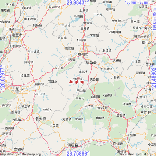
Jingling GPS coordinates[2]
29° 22' 24.348" North, 120° 46' 58.404" East
| Map corner | latitude | longitude |
|---|---|---|
| Upper-left | 29.98431°, | 120.07977° |
| Center: | 29.37343°, | 120.78289° |
| Lower-right: | 28.75886°, | 121.48602° |
| Map W x H: | 136.3×136.3 km | = 84.7×84.7mi |
| max Lat: | 53.31946° ⇑61.1% North |
| Jingling: | 29.37343° |
| min Lat: | ⇓38.9% South 18.22056° |
| min Long | Jingling | max Long |
| 75.07348° | 120.78289° | 134.28917° |
| W 86.7%⇐ | ⇒13.3% E |
Elevation
Elevation of Jingling is 69 m = 226 ft, and this is 415.8 m = 1364 ft below average elevation for this country.
| Max E: |
5622 m = 18445 ft | 65.8% |
| Avg. | 484.8 m = 1591 ft | |
| Jingling | 69 m = 226 ft | |
Min E: |
-3 m = -10 ft | 34.2% |
See also: China elevation on elevation.city.
Geographical zone
Jingling is located in North temperate zone (between Tropic of Cancer and the Arctic Circle). Distance of this Northern Tropic circle is 660.1 km =410.2 mi to South.| Distance of | km | miles | from Jingling |
|---|---|---|---|
| North Pole | 6741 | 4188.7 | to North |
| Arctic Circle | 4135.2 | 2569.5 | to North |
| Tropic Cancer | 660.1 | 410.2 | to South |
| Equator | 3266 | 2029.4 | to South |


Nearby cities:
15 places around Jingling: (largest is in red/bold)
• Baihedian
21.3 km =13.2 mi,  136°
136°
• Changle
19.1 km =11.9 mi,  298°
298°
• Chengtan
8.4 km =5.2 mi,  4°
4°
• Dashiju
25.6 km =15.9 mi,  71°
71°
• Dianqian
3.8 km =2.4 mi,  182°
182°
• Diji
16.9 km =10.5 mi,  240°
240°
• Ganlin
17.7 km =11 mi,  337°
337°
• Jianshan
17.7 km =11 mi,  201°
201°
• Meizhu
11.6 km =7.2 mi,  7°
7°
• Pingqiao
26.3 km =16.3 mi,  158°
158°
• Ru’ao
13.1 km =8.1 mi,  96°
96°
• Shanhu
24.9 km =15.5 mi, 7°
• Shihuang
22.4 km =13.9 mi,  325°
325°
• Xinchang Chengguanzhen
18.5 km =11.5 mi,  37°
37°
• Xinshichang
10.7 km =6.6 mi,  167°
167°
Sources, notices
• [Note1] Compared only with cities in China existing in our database
• [Src1] Map data: © OpenStreetMap contributors (CC-BY-SA)
• [Src2] Other city data from geonames.org with taken over terms of usage.
• [Src3] Geographical zone / Annual Mean Temperature by Robert A. Rohde @ Wikipedia
