Shanhu geodata
Shanhu (Zhejiang) is a seat of a third-order administrative division; located in China in Asia/Shanghai (GMT+8) time zone. In our database, there are 1268 cities with bigger population. Compared to other cities in China, 58.7% of cities are located further ↑North; 86.9% of cities are located further ←West and 74.8% of cities have higher elevation than Shanhu. Note1


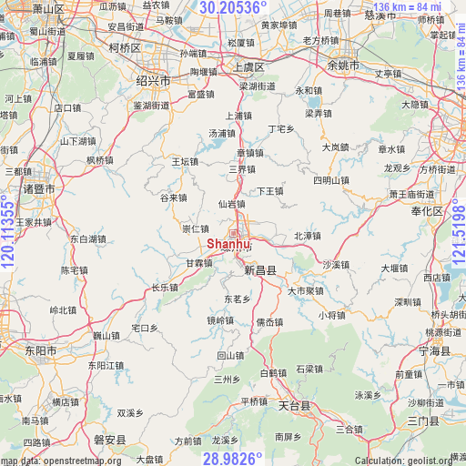
Shanhu GPS coordinates[2]
29° 35' 44.988" North, 120° 49' 0.012" East
| Map corner | latitude | longitude |
|---|---|---|
| Upper-left | 30.20536°, | 120.11355° |
| Center: | 29.59583°, | 120.81667° |
| Lower-right: | 28.9826°, | 121.5198° |
| Map W x H: | 136×136 km | = 84.5×84.5mi |
| max Lat: | 53.31946° ⇑58.7% North |
| Shanhu: | 29.59583° |
| min Lat: | ⇓41.3% South 18.22056° |
| min Long | Shanhu | max Long |
| 75.07348° | 120.81667° | 134.28917° |
| W 86.9%⇐ | ⇒13.1% E |
Elevation
Elevation of Shanhu is 37 m = 121 ft, and this is 447.8 m = 1469 ft below average elevation for this country.
| Max E: |
5622 m = 18445 ft | 74.8% |
| Avg. | 484.8 m = 1591 ft | |
| Shanhu | 37 m = 121 ft | |
Min E: |
-3 m = -10 ft | 25.2% |
See also: China elevation on elevation.city.
Geographical zone
Shanhu is located in North temperate zone (between Tropic of Cancer and the Arctic Circle). Distance of this Northern Tropic circle is 684.8 km =425.5 mi to South.| Distance of | km | miles | from Shanhu |
|---|---|---|---|
| North Pole | 6716.3 | 4173.3 | to North |
| Arctic Circle | 4110.4 | 2554.1 | to North |
| Tropic Cancer | 684.8 | 425.5 | to South |
| Equator | 3290.7 | 2044.7 | to South |


Nearby cities:
15 places around Shanhu: (largest is in red/bold)
• Beizhang
21.6 km =13.4 mi,  91°
91°
• Chengtan
16.6 km =10.3 mi,  188°
188°
• Chongren
10.9 km =6.8 mi,  277°
277°
• Ganlin
13 km =8.1 mi,  229°
229°
• Gulai
19.9 km =12.4 mi,  302°
302°
• Huangze
10.5 km =6.5 mi,  100°
100°
• Jingling
24.9 km =15.5 mi, 187°
• Meizhu
13.3 km =8.3 mi, 187°
• Pukou
5.5 km =3.4 mi,  43°
43°
• Sanjie
18.4 km =11.4 mi,  9°
9°
• Shihuang
17.1 km =10.6 mi,  248°
248°
• Xianyan
8.9 km =5.5 mi,  357°
357°
• Xiaren
20.5 km =12.7 mi, 97°
• Xinchang Chengguanzhen
12.9 km =8 mi,  141°
141°
• Zhangzhen
24.3 km =15.1 mi, 11°
Sources, notices
• [Note1] Compared only with cities in China existing in our database
• [Src1] Map data: © OpenStreetMap contributors (CC-BY-SA)
• [Src2] Other city data from geonames.org with taken over terms of usage.
• [Src3] Geographical zone / Annual Mean Temperature by Robert A. Rohde @ Wikipedia
