Huangjindong geodata
Huangjindong (Hunan) is a seat of a fourth-order administrative division; located in China in Asia/Shanghai (GMT+8) time zone. In our database, there are 1268 cities with bigger population. Compared to other cities in China, 68.4% of cities are located further ↑North; 51% of cities are located further →East and 62.9% of cities have lower elevation than Huangjindong. Note1


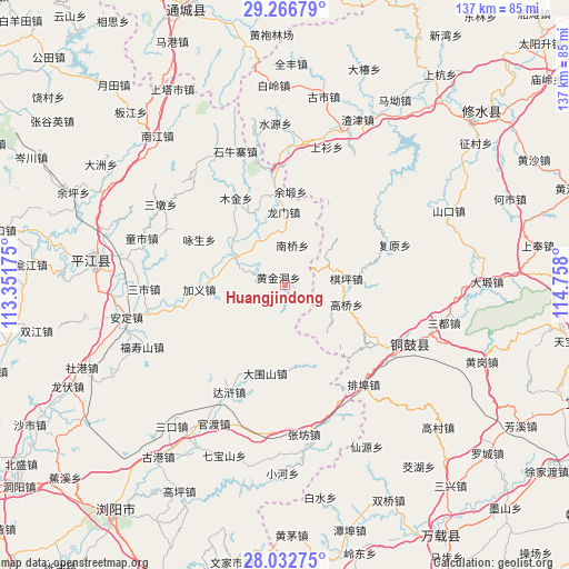
Huangjindong GPS coordinates[2]
28° 39' 5.724" North, 114° 3' 17.532" East
| Map corner | latitude | longitude |
|---|---|---|
| Upper-left | 29.26679°, | 113.35175° |
| Center: | 28.65159°, | 114.05487° |
| Lower-right: | 28.03275°, | 114.758° |
| Map W x H: | 137.2×137.2 km | = 85.3×85.3mi |
| max Lat: | 53.31946° ⇑68.4% North |
| Huangjindong: | 28.65159° |
| min Lat: | ⇓31.6% South 18.22056° |
| min Long | Huangjindong | max Long |
| 75.07348° | 114.05487° | 134.28917° |
| W 49%⇐ | ⇒51% E |
Elevation
Elevation of Huangjindong is 294 m = 965 ft, and this is 190.8 m = 626 ft below average elevation for this country.
| Max E: |
5622 m = 18445 ft | 37.1% |
| Avg. | 484.8 m = 1591 ft | |
| Huangjindong | 294 m = 965 ft | |
Min E: |
-3 m = -10 ft | 62.9% |
See also: China elevation on elevation.city.
Geographical zone
Huangjindong is located in North temperate zone (between Tropic of Cancer and the Arctic Circle). Distance of this Northern Tropic circle is 579.8 km =360.3 mi to South.| Distance of | km | miles | from Huangjindong |
|---|---|---|---|
| North Pole | 6821.3 | 4238.6 | to North |
| Arctic Circle | 4215.4 | 2619.3 | to North |
| Tropic Cancer | 579.8 | 360.3 | to South |
| Equator | 3185.8 | 1979.6 | to South |


Nearby cities:
15 places around Huangjindong: (largest is in red/bold)
• Baisha
20.1 km =12.5 mi,  171°
171°
• Daqiao
34.7 km =21.6 mi,  8°
8°
• Daweishan
21.6 km =13.4 mi,  192°
192°
• Donggang
35.8 km =22.2 mi,  27°
27°
• Fuyuan
28.2 km =17.5 mi,  69°
69°
• Gangkou
24.7 km =15.3 mi, 67°
• Gaoqiao
15.7 km =9.8 mi,  108°
108°
• Longmen
17.5 km =10.9 mi,  359°
359°
• Nanqiao
9.7 km =6 mi, 9°
• Paibu
30.7 km =19.1 mi,  142°
142°
• Qiping
14.7 km =9.1 mi,  83°
83°
• Shangshan
34.8 km =21.6 mi,  16°
16°
• Wenquan
31.4 km =19.5 mi, 113°
• Yongning
33.5 km =20.8 mi, 114°
• Yuduan
22.6 km =14 mi,  3°
3°
Sources, notices
• [Note1] Compared only with cities in China existing in our database
• [Src1] Map data: © OpenStreetMap contributors (CC-BY-SA)
• [Src2] Other city data from geonames.org with taken over terms of usage.
• [Src3] Geographical zone / Annual Mean Temperature by Robert A. Rohde @ Wikipedia
