Huaminglou geodata
Huaminglou (Hunan) is a seat of a fourth-order administrative division; located in China in Asia/Shanghai (GMT+8) time zone. In our database, there are 1268 cities with bigger population. Compared to other cities in China, 73.6% of cities are located further ↑North; 59.5% of cities are located further →East and 67.6% of cities have higher elevation than Huaminglou. Note1


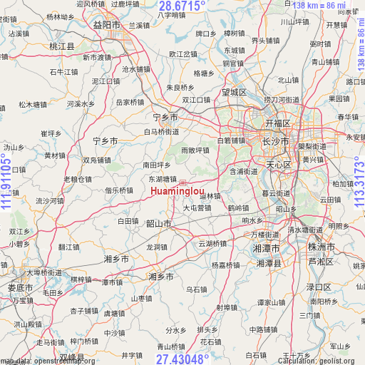
Huaminglou GPS coordinates[2]
28° 3' 10.008" North, 112° 36' 51.012" East
| Map corner | latitude | longitude |
|---|---|---|
| Upper-left | 28.6715°, | 111.91105° |
| Center: | 28.05278°, | 112.61417° |
| Lower-right: | 27.43048°, | 113.3173° |
| Map W x H: | 138×138 km | = 85.7×85.7mi |
| max Lat: | 53.31946° ⇑73.6% North |
| Huaminglou: | 28.05278° |
| min Lat: | ⇓26.4% South 18.22056° |
| min Long | Huaminglou | max Long |
| 75.07348° | 112.61417° | 134.28917° |
| W 40.5%⇐ | ⇒59.5% E |
Elevation
Elevation of Huaminglou is 62 m = 203 ft, and this is 422.8 m = 1387 ft below average elevation for this country.
| Max E: |
5622 m = 18445 ft | 67.6% |
| Avg. | 484.8 m = 1591 ft | |
| Huaminglou | 62 m = 203 ft | |
Min E: |
-3 m = -10 ft | 32.4% |
See also: China elevation on elevation.city.
Geographical zone
Huaminglou is located in North temperate zone (between Tropic of Cancer and the Arctic Circle). Distance of this Northern Tropic circle is 513.3 km =318.9 mi to South.| Distance of | km | miles | from Huaminglou |
|---|---|---|---|
| North Pole | 6887.9 | 4279.9 | to North |
| Arctic Circle | 4282 | 2660.7 | to North |
| Tropic Cancer | 513.3 | 318.9 | to South |
| Equator | 3119.2 | 1938.2 | to South |


Nearby cities:
15 places around Huaminglou: (largest is in red/bold)
• Bairuopu
24.5 km =15.2 mi,  48°
48°
• Changsha
38.6 km =24 mi,  65°
65°
• Datuo
32.9 km =20.4 mi,  88°
88°
• Gaotangling
40.1 km =24.9 mi,  29°
29°
• Huitang
28.7 km =17.8 mi,  255°
255°
• Lianhua
16.5 km =10.3 mi,  64°
64°
• Muyun
35.7 km =22.2 mi, 93°
• Pingtang
29.7 km =18.5 mi,  83°
83°
• Qingyuan
38.4 km =23.9 mi, 79°
• Wangyue
36 km =22.4 mi, 55°
• Xiangtan
36 km =22.4 mi,  128°
128°
• Xiangxiang
36.4 km =22.6 mi,  192°
192°
• Yuejiaqiao
35.4 km =22 mi,  330°
330°
• Yujia’ao
37.9 km =23.5 mi,  294°
294°
• Yutan
23.5 km =14.6 mi,  347°
347°
Sources, notices
• [Note1] Compared only with cities in China existing in our database
• [Src1] Map data: © OpenStreetMap contributors (CC-BY-SA)
• [Src2] Other city data from geonames.org with taken over terms of usage.
• [Src3] Geographical zone / Annual Mean Temperature by Robert A. Rohde @ Wikipedia
