Yunzhong geodata
Yunzhong (Shanxi) is a seat of a third-order administrative division; located in China in Asia/Shanghai (GMT+8) time zone. In our database, there are 1268 cities with bigger population. Compared to other cities in China, 85.8% of cities are located further ↓South; 57% of cities are located further →East and 85.9% of cities have lower elevation than Yunzhong. Note1


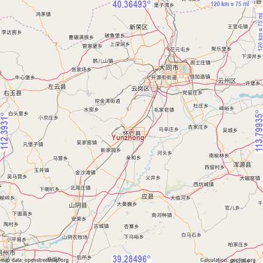
Yunzhong GPS coordinates[2]
39° 49' 37.452" North, 113° 5' 46.392" East
| Map corner | latitude | longitude |
|---|---|---|
| Upper-left | 40.36493°, | 112.3931° |
| Center: | 39.82707°, | 113.09622° |
| Lower-right: | 39.28496°, | 113.79935° |
| Map W x H: | 120.1×120.1 km | = 74.6×74.6mi |
| max Lat: | 53.31946° ⇑14.2% North |
| Yunzhong: | 39.82707° |
| min Lat: | ⇓85.8% South 18.22056° |
| min Long | Yunzhong | max Long |
| 75.07348° | 113.09622° | 134.28917° |
| W 43%⇐ | ⇒57% E |
Elevation
Elevation of Yunzhong is 1039 m = 3409 ft, and this is 554.2 m = 1818 ft above average elevation for this country.
| Max E: |
5622 m = 18445 ft | 14.1% |
| Yunzhong | 1039 m 3409 ft | |
| Avg. | 484.8 m = 1591 ft | |
Min E: |
-3 m = -10 ft | 85.9% |
See also: China elevation on elevation.city.
Geographical zone
Yunzhong is located in North temperate zone (between Tropic of Cancer and the Arctic Circle). Distance of this Northern Tropic circle is 1822.4 km =1132.4 mi to South.| Distance of | km | miles | from Yunzhong |
|---|---|---|---|
| North Pole | 5578.7 | 3466.4 | to North |
| Arctic Circle | 2972.8 | 1847.2 | to North |
| Tropic Cancer | 1822.4 | 1132.4 | to South |
| Equator | 4428.4 | 2751.7 | to South |


Nearby cities:
15 places around Yunzhong: (largest is in red/bold)
• Dianwan
26.5 km =16.5 mi,  312°
312°
• Haibeitou
8 km =5 mi,  108°
108°
• Hejiabao
4.3 km =2.7 mi,  249°
249°
• Hetou
17.9 km =11.1 mi,  122°
122°
• Kouquan
19.5 km =12.1 mi,  12°
12°
• Madaotou
28.5 km =17.7 mi,  281°
281°
• Maojiazao
18 km =11.2 mi,  55°
55°
• Qingshuihe
11.7 km =7.3 mi,  175°
175°
• Shuiyao
20.4 km =12.7 mi,  295°
295°
• Wujiayao
21 km =13 mi,  256°
256°
• Xihanling
24.2 km =15 mi,  30°
30°
• Xinjiayuan
12.5 km =7.8 mi,  228°
228°
• Ya’erya
18 km =11.2 mi,  330°
330°
• Yijing
23.2 km =14.4 mi,  154°
154°
• Zangzhai
22 km =13.7 mi, 176°
Sources, notices
• [Note1] Compared only with cities in China existing in our database
• [Src1] Map data: © OpenStreetMap contributors (CC-BY-SA)
• [Src2] Other city data from geonames.org with taken over terms of usage.
• [Src3] Geographical zone / Annual Mean Temperature by Robert A. Rohde @ Wikipedia
