Guling geodata
Guling (Chongqing) is a seat of a fourth-order administrative division; located in China in Asia/Shanghai (GMT+8) time zone. In our database, there are 1268 cities with bigger population. Compared to other cities in China, 54.3% of cities are located further ↓South; 76% of cities are located further →East and 52.9% of cities have lower elevation than Guling. Note1


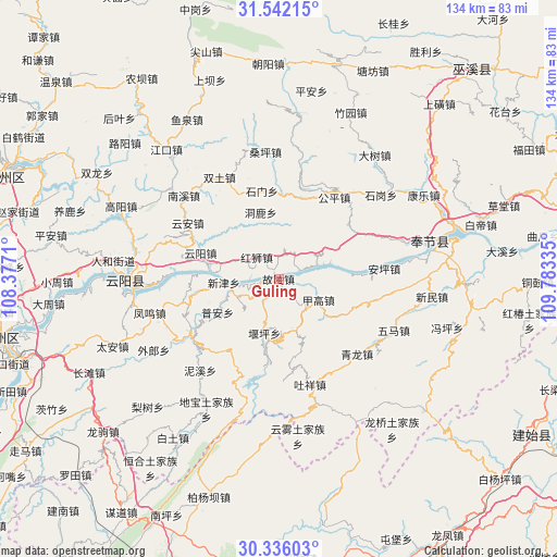
Guling GPS coordinates[2]
30° 56' 27.564" North, 109° 4' 48.792" East
| Map corner | latitude | longitude |
|---|---|---|
| Upper-left | 31.54215°, | 108.3771° |
| Center: | 30.94099°, | 109.08022° |
| Lower-right: | 30.33603°, | 109.78335° |
| Map W x H: | 134.1×134.1 km | = 83.3×83.3mi |
| max Lat: | 53.31946° ⇑45.7% North |
| Guling: | 30.94099° |
| min Lat: | ⇓54.3% South 18.22056° |
| min Long | Guling | max Long |
| 75.07348° | 109.08022° | 134.28917° |
| W 24%⇐ | ⇒76% E |
Elevation
Elevation of Guling is 188 m = 617 ft, and this is 296.8 m = 974 ft below average elevation for this country.
| Max E: |
5622 m = 18445 ft | 47.1% |
| Avg. | 484.8 m = 1591 ft | |
| Guling | 188 m = 617 ft | |
Min E: |
-3 m = -10 ft | 52.9% |
See also: China elevation on elevation.city.
Geographical zone
Guling is located in North temperate zone (between Tropic of Cancer and the Arctic Circle). Distance of this Northern Tropic circle is 834.4 km =518.5 mi to South.| Distance of | km | miles | from Guling |
|---|---|---|---|
| North Pole | 6566.7 | 4080.4 | to North |
| Arctic Circle | 3960.9 | 2461.2 | to North |
| Tropic Cancer | 834.4 | 518.5 | to South |
| Equator | 3440.3 | 2137.7 | to South |


Nearby cities:
15 places around Guling: (largest is in red/bold)
• Baoping
22.8 km =14.2 mi,  253°
253°
• Donglu
16.9 km =10.5 mi,  346°
346°
• Gongping
23.5 km =14.6 mi,  28°
28°
• Hongshi
7.4 km =4.6 mi,  314°
314°
• Hongtu
20.5 km =12.7 mi,  4°
4°
• Jiagao
10.8 km =6.7 mi,  122°
122°
• Kangping
16.2 km =10.1 mi,  75°
75°
• Longdong
8.9 km =5.5 mi,  66°
66°
• Piaocao
20.6 km =12.8 mi,  216°
216°
• Pu’an
16.8 km =10.4 mi,  241°
241°
• Qinglong
24.6 km =15.3 mi,  136°
136°
• Shimen
21.7 km =13.5 mi, 348°
• Yangshi
14.5 km =9 mi,  193°
193°
• Yunyang
20 km =12.4 mi,  288°
288°
• Yun’an
24.6 km =15.3 mi,  298°
298°
Sources, notices
• [Note1] Compared only with cities in China existing in our database
• [Src1] Map data: © OpenStreetMap contributors (CC-BY-SA)
• [Src2] Other city data from geonames.org with taken over terms of usage.
• [Src3] Geographical zone / Annual Mean Temperature by Robert A. Rohde @ Wikipedia
