Jiagao geodata
Jiagao (Chongqing) is a seat of a fourth-order administrative division; located in China in Asia/Shanghai (GMT+8) time zone. In our database, there are 1268 cities with bigger population. Compared to other cities in China, 53.8% of cities are located further ↓South; 75.5% of cities are located further →East and 70% of cities have lower elevation than Jiagao. Note1


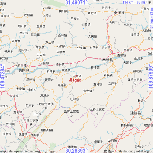
Jiagao GPS coordinates[2]
30° 53' 21.192" North, 109° 10' 33.456" East
| Map corner | latitude | longitude |
|---|---|---|
| Upper-left | 31.49071°, | 108.47284° |
| Center: | 30.88922°, | 109.17596° |
| Lower-right: | 30.28393°, | 109.87909° |
| Map W x H: | 134.2×134.2 km | = 83.4×83.4mi |
| max Lat: | 53.31946° ⇑46.2% North |
| Jiagao: | 30.88922° |
| min Lat: | ⇓53.8% South 18.22056° |
| min Long | Jiagao | max Long |
| 75.07348° | 109.17596° | 134.28917° |
| W 24.5%⇐ | ⇒75.5% E |
Elevation
Elevation of Jiagao is 412 m = 1352 ft, and this is 72.8 m = 239 ft below average elevation for this country.
| Max E: |
5622 m = 18445 ft | 30% |
| Avg. | 484.8 m = 1591 ft | |
| Jiagao | 412 m = 1352 ft | |
Min E: |
-3 m = -10 ft | 70% |
See also: China elevation on elevation.city.
Geographical zone
Jiagao is located in North temperate zone (between Tropic of Cancer and the Arctic Circle). Distance of this Northern Tropic circle is 828.6 km =514.9 mi to South.| Distance of | km | miles | from Jiagao |
|---|---|---|---|
| North Pole | 6572.5 | 4084 | to North |
| Arctic Circle | 3966.6 | 2464.7 | to North |
| Tropic Cancer | 828.6 | 514.9 | to South |
| Equator | 3434.6 | 2134.2 | to South |


Nearby cities:
15 places around Jiagao: (largest is in red/bold)
• Anping
18.1 km =11.2 mi,  62°
62°
• Donglu
25.8 km =16 mi,  329°
329°
• Gongping
26.5 km =16.5 mi,  4°
4°
• Guling
10.8 km =6.7 mi,  302°
302°
• Hongshi
18.1 km =11.2 mi,  307°
307°
• Hongtu
27.2 km =16.9 mi,  344°
344°
• Kangping
11.9 km =7.4 mi,  33°
33°
• Longdong
9.4 km =5.8 mi,  354°
354°
• Piaocao
24 km =14.9 mi,  242°
242°
• Pu’an
24 km =14.9 mi,  264°
264°
• Qinglong
14.4 km =8.9 mi,  147°
147°
• Tuxiang
19.7 km =12.2 mi,  185°
185°
• Wuma
19.5 km =12.1 mi,  101°
101°
• Xinmin
27.8 km =17.3 mi,  86°
86°
• Yangshi
15 km =9.3 mi, 236°
Sources, notices
• [Note1] Compared only with cities in China existing in our database
• [Src1] Map data: © OpenStreetMap contributors (CC-BY-SA)
• [Src2] Other city data from geonames.org with taken over terms of usage.
• [Src3] Geographical zone / Annual Mean Temperature by Robert A. Rohde @ Wikipedia
