Gaofeng geodata
Gaofeng (Hunan) is a seat of a fourth-order administrative division; located in China in Asia/Shanghai (GMT+8) time zone. In our database, there are 1268 cities with bigger population. Compared to other cities in China, 68.3% of cities are located further ↑North; 70.4% of cities are located further →East and 80.2% of cities have lower elevation than Gaofeng. Note1


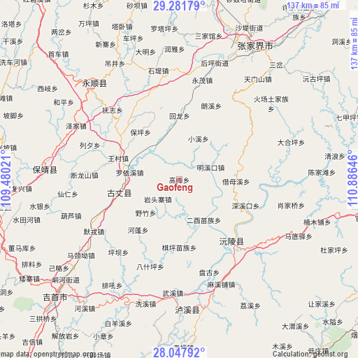
Gaofeng GPS coordinates[2]
28° 40' 0.012" North, 110° 10' 59.988" East
| Map corner | latitude | longitude |
|---|---|---|
| Upper-left | 29.28179°, | 109.48021° |
| Center: | 28.66667°, | 110.18333° |
| Lower-right: | 28.04792°, | 110.88646° |
| Map W x H: | 137.2×137.2 km | = 85.3×85.3mi |
| max Lat: | 53.31946° ⇑68.3% North |
| Gaofeng: | 28.66667° |
| min Lat: | ⇓31.7% South 18.22056° |
| min Long | Gaofeng | max Long |
| 75.07348° | 110.18333° | 134.28917° |
| W 29.6%⇐ | ⇒70.4% E |
Elevation
Elevation of Gaofeng is 706 m = 2316 ft, and this is 221.2 m = 726 ft above average elevation for this country.
| Max E: |
5622 m = 18445 ft | 19.8% |
| Gaofeng | 706 m 2316 ft | |
| Avg. | 484.8 m = 1591 ft | |
Min E: |
-3 m = -10 ft | 80.2% |
See also: China elevation on elevation.city.
Geographical zone
Gaofeng is located in North temperate zone (between Tropic of Cancer and the Arctic Circle). Distance of this Northern Tropic circle is 581.5 km =361.3 mi to South.| Distance of | km | miles | from Gaofeng |
|---|---|---|---|
| North Pole | 6819.6 | 4237.5 | to North |
| Arctic Circle | 4213.7 | 2618.3 | to North |
| Tropic Cancer | 581.5 | 361.3 | to South |
| Equator | 3187.4 | 1980.6 | to South |


Nearby cities:
15 places around Gaofeng: (largest is in red/bold)
• Baoping
23.1 km =14.4 mi,  318°
318°
• Fuzhiping
35.9 km =22.3 mi, 315°
• Guyang
25.2 km =15.7 mi,  256°
256°
• Huilongan
24.8 km =15.4 mi,  359°
359°
• Langxi
30.9 km =19.2 mi,  23°
23°
• Luoping
34.5 km =21.4 mi,  87°
87°
• Mingxikou
13.5 km =8.4 mi,  74°
74°
• Qietong
30.3 km =18.8 mi,  279°
279°
• Qiping
25.9 km =16.1 mi,  180°
180°
• Shanzao
23.5 km =14.6 mi,  201°
201°
• Shuangxi
30.1 km =18.7 mi, 258°
• Wangcun
24.8 km =15.4 mi,  289°
289°
• Ximi
32.3 km =20.1 mi,  327°
327°
• Yezhu
18.1 km =11.2 mi,  225°
225°
• Yuanling
32.3 km =20.1 mi,  138°
138°
Sources, notices
• [Note1] Compared only with cities in China existing in our database
• [Src1] Map data: © OpenStreetMap contributors (CC-BY-SA)
• [Src2] Other city data from geonames.org with taken over terms of usage.
• [Src3] Geographical zone / Annual Mean Temperature by Robert A. Rohde @ Wikipedia
