Diancheng geodata
Diancheng (Guangdong) is a seat of a fourth-order administrative division; located in China in Asia/Urumqi (GMT+6) time zone. In our database, there are 1268 cities with bigger population. Compared to other cities in China, 98.1% of cities are located further ↑North; 65.9% of cities are located further →East and 87.7% of cities have higher elevation than Diancheng. Note1


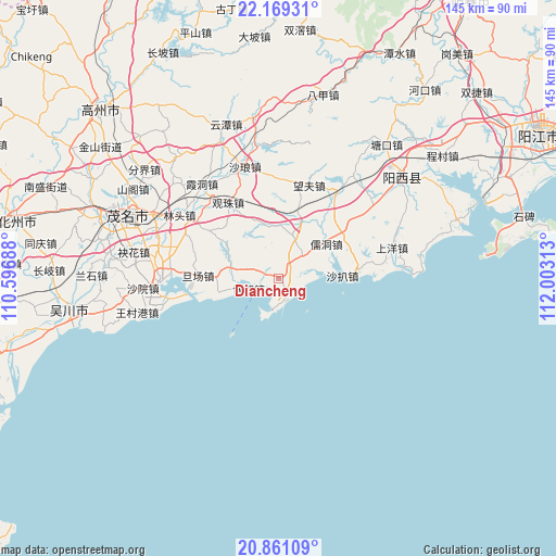
Diancheng GPS coordinates[2]
21° 31' 0.012" North, 111° 18' 0" East
| Map corner | latitude | longitude |
|---|---|---|
| Upper-left | 22.16931°, | 110.59688° |
| Center: | 21.51667°, | 111.3° |
| Lower-right: | 20.86109°, | 112.00313° |
| Map W x H: | 145.5×145.5 km | = 90.4×90.4mi |
| max Lat: | 53.31946° ⇑98.1% North |
| Diancheng: | 21.51667° |
| min Lat: | ⇓1.9% South 18.22056° |
| min Long | Diancheng | max Long |
| 75.07348° | 111.3° | 134.28917° |
| W 34.1%⇐ | ⇒65.9% E |
Elevation
Elevation of Diancheng is 12 m = 39 ft, and this is 472.8 m = 1551 ft below average elevation for this country.
| Max E: |
5622 m = 18445 ft | 87.7% |
| Avg. | 484.8 m = 1591 ft | |
| Diancheng | 12 m = 39 ft | |
Min E: |
-3 m = -10 ft | 12.3% |
See also: China elevation on elevation.city.
Geographical zone
Diancheng is located in North Torrid zone (between Equator and Tropic of Cancer). Distance of this Northern Tropic circle is 213.5 km =132.7 mi to North.| Distance of | km | miles | from Diancheng |
|---|---|---|---|
| North Pole | 7614.6 | 4731.5 | to North |
| Arctic Circle | 5008.7 | 3112.3 | to North |
| Tropic Cancer | 213.5 | 132.7 | to North |
| Equator | 2392.4 | 1486.6 | to South |


Nearby cities:
15 places around Diancheng: (largest is in red/bold)
• Bohe
8.9 km =5.5 mi,  250°
250°
• Danchang
20.6 km =12.8 mi,  268°
268°
• Guanzhu
23.3 km =14.5 mi,  325°
325°
• Lingmen
10.8 km =6.7 mi,  56°
56°
• Lintou
30.8 km =19.1 mi,  302°
302°
• Magang
14 km =8.7 mi,  283°
283°
• Mata
11.2 km =7 mi,  25°
25°
• Nanhai
28.7 km =17.8 mi,  260°
260°
• Rudong
16.6 km =10.3 mi, 56°
• Shaba Zhen
18.6 km =11.6 mi,  84°
84°
• Shapa
18.6 km =11.6 mi, 84°
• Shuidong
30.8 km =19.1 mi, 269°
• Shuzi
8.5 km =5.3 mi,  291°
291°
• Wangfu
25.1 km =15.6 mi,  16°
16°
• Xinxu
25.9 km =16.1 mi,  36°
36°
Sources, notices
• [Note1] Compared only with cities in China existing in our database
• [Src1] Map data: © OpenStreetMap contributors (CC-BY-SA)
• [Src2] Other city data from geonames.org with taken over terms of usage.
• [Src3] Geographical zone / Annual Mean Temperature by Robert A. Rohde @ Wikipedia
