Changshengqiao geodata
Changshengqiao (Chongqing) is a seat of a fourth-order administrative division; located in China in Asia/Shanghai (GMT+8) time zone. In our database, there are 1268 cities with bigger population. Compared to other cities in China, 59.6% of cities are located further ↑North; 84.7% of cities are located further →East and 55.7% of cities have lower elevation than Changshengqiao. Note1


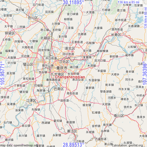
Changshengqiao GPS coordinates[2]
29° 30' 32.004" North, 106° 39' 38.988" East
| Map corner | latitude | longitude |
|---|---|---|
| Upper-left | 30.11895°, | 105.95771° |
| Center: | 29.50889°, | 106.66083° |
| Lower-right: | 28.89513°, | 107.36396° |
| Map W x H: | 136.1×136.1 km | = 84.6×84.6mi |
| max Lat: | 53.31946° ⇑59.6% North |
| Changshengqiao: | 29.50889° |
| min Lat: | ⇓40.4% South 18.22056° |
| min Long | Changshengqiao | max Long |
| 75.07348° | 106.66083° | 134.28917° |
| W 15.3%⇐ | ⇒84.7% E |
Elevation
Elevation of Changshengqiao is 213 m = 699 ft, and this is 271.8 m = 892 ft below average elevation for this country.
| Max E: |
5622 m = 18445 ft | 44.3% |
| Avg. | 484.8 m = 1591 ft | |
| Changshengqiao | 213 m = 699 ft | |
Min E: |
-3 m = -10 ft | 55.7% |
See also: China elevation on elevation.city.
Geographical zone
Changshengqiao is located in North temperate zone (between Tropic of Cancer and the Arctic Circle). Distance of this Northern Tropic circle is 675.2 km =419.5 mi to South.| Distance of | km | miles | from Changshengqiao |
|---|---|---|---|
| North Pole | 6726 | 4179.3 | to North |
| Arctic Circle | 4120.1 | 2560.1 | to North |
| Tropic Cancer | 675.2 | 419.5 | to South |
| Equator | 3281.1 | 2038.8 | to South |


Nearby cities:
15 places around Changshengqiao: (largest is in red/bold)
• Chongqing
12 km =7.5 mi,  299°
299°
• Cuntan
13.6 km =8.5 mi,  319°
319°
• Guangyang
12.2 km =7.6 mi,  46°
46°
• Huimin
6.7 km =4.2 mi,  140°
140°
• Jiguanshi
11 km =6.8 mi,  330°
330°
• Longzhouwan
18.6 km =11.6 mi,  218°
218°
• Mudong
18.9 km =11.7 mi,  67°
67°
• Nanping
7.9 km =4.9 mi, 296°
• Renhe
18.3 km =11.4 mi,  314°
314°
• Xinshancun
17.8 km =11.1 mi,  261°
261°
• Yangjiaping
15.4 km =9.6 mi,  268°
268°
• Yinglong
5.4 km =3.4 mi,  76°
76°
• Yudong
19.4 km =12.1 mi, 224°
• Yufengshan
17.2 km =10.7 mi,  1°
1°
• Yuzui
15.8 km =9.8 mi,  38°
38°
Sources, notices
• [Note1] Compared only with cities in China existing in our database
• [Src1] Map data: © OpenStreetMap contributors (CC-BY-SA)
• [Src2] Other city data from geonames.org with taken over terms of usage.
• [Src3] Geographical zone / Annual Mean Temperature by Robert A. Rohde @ Wikipedia
