Changqing geodata
Changqing (Fujian) is a seat of a fourth-order administrative division; located in China in Asia/Shanghai (GMT+8) time zone. In our database, there are 1268 cities with bigger population. Compared to other cities in China, 82.8% of cities are located further ↑North; 73.7% of cities are located further ←West and 51.1% of cities have lower elevation than Changqing. Note1


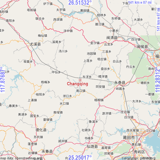
Changqing GPS coordinates[2]
25° 53' 3.984" North, 118° 34' 47.964" East
| Map corner | latitude | longitude |
|---|---|---|
| Upper-left | 26.51532°, | 117.87687° |
| Center: | 25.88444°, | 118.57999° |
| Lower-right: | 25.25017°, | 119.28312° |
| Map W x H: | 140.7×140.7 km | = 87.4×87.4mi |
| max Lat: | 53.31946° ⇑82.8% North |
| Changqing: | 25.88444° |
| min Lat: | ⇓17.2% South 18.22056° |
| min Long | Changqing | max Long |
| 75.07348° | 118.57999° | 134.28917° |
| W 73.7%⇐ | ⇒26.3% E |
Elevation
Elevation of Changqing is 174 m = 571 ft, and this is 310.8 m = 1020 ft below average elevation for this country.
| Max E: |
5622 m = 18445 ft | 48.9% |
| Avg. | 484.8 m = 1591 ft | |
| Changqing | 174 m = 571 ft | |
Min E: |
-3 m = -10 ft | 51.1% |
See also: China elevation on elevation.city.
Geographical zone
Changqing is located in North temperate zone (between Tropic of Cancer and the Arctic Circle). Distance of this Northern Tropic circle is 272.2 km =169.1 mi to South.| Distance of | km | miles | from Changqing |
|---|---|---|---|
| North Pole | 7129 | 4429.8 | to North |
| Arctic Circle | 4523.1 | 2810.5 | to North |
| Tropic Cancer | 272.2 | 169.1 | to South |
| Equator | 2878.1 | 1788.4 | to South |


Nearby cities:
15 places around Changqing: (largest is in red/bold)
• Dongyang
6.9 km =4.3 mi,  61°
61°
• Fukou
17.6 km =10.9 mi,  219°
219°
• Gaiyang
10.8 km =6.7 mi,  243°
243°
• Houjia
17.2 km =10.7 mi,  349°
349°
• Jiatou
17.2 km =10.7 mi,  9°
9°
• Pangu
24.5 km =15.2 mi, 64°
• Shanglian
18.7 km =11.6 mi,  21°
21°
• Shenghuang
18.4 km =11.4 mi,  51°
51°
• Shuikou
24.3 km =15.1 mi, 217°
• Songkou
9 km =5.6 mi,  176°
176°
• Tong’an
18.5 km =11.5 mi,  108°
108°
• Wutong
23.8 km =14.8 mi,  136°
136°
• Xiaba
11.9 km =7.4 mi,  66°
66°
• Zhangyang
20.3 km =12.6 mi,  79°
79°
• Zhongxian
22.3 km =13.9 mi,  289°
289°
Sources, notices
• [Note1] Compared only with cities in China existing in our database
• [Src1] Map data: © OpenStreetMap contributors (CC-BY-SA)
• [Src2] Other city data from geonames.org with taken over terms of usage.
• [Src3] Geographical zone / Annual Mean Temperature by Robert A. Rohde @ Wikipedia
