Bao’an geodata
Bao’an (Shaanxi) is a seat of a third-order administrative division; located in China in Asia/Shanghai (GMT+8) time zone. In our database, there are 1268 cities with bigger population. Compared to other cities in China, 78.8% of cities are located further ↓South; 77.4% of cities are located further →East and 88.6% of cities have lower elevation than Bao’an. Note1


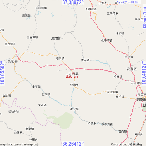
Bao’an GPS coordinates[2]
36° 49' 44.364" North, 108° 45' 29.304" East
| Map corner | latitude | longitude |
|---|---|---|
| Upper-left | 37.38972°, | 108.05502° |
| Center: | 36.82899°, | 108.75814° |
| Lower-right: | 36.26412°, | 109.46127° |
| Map W x H: | 125.2×125.2 km | = 77.8×77.8mi |
| max Lat: | 53.31946° ⇑21.2% North |
| Bao’an: | 36.82899° |
| min Lat: | ⇓78.8% South 18.22056° |
| min Long | Bao’an | max Long |
| 75.07348° | 108.75814° | 134.28917° |
| W 22.6%⇐ | ⇒77.4% E |
Elevation
Elevation of Bao’an is 1233 m = 4045 ft, and this is 748.2 m = 2455 ft above average elevation for this country.
| Max E: |
5622 m = 18445 ft | 11.4% |
| Bao’an | 1233 m 4045 ft | |
| Avg. | 484.8 m = 1591 ft | |
Min E: |
-3 m = -10 ft | 88.6% |
See also: China elevation on elevation.city.
Geographical zone
Bao’an is located in North temperate zone (between Tropic of Cancer and the Arctic Circle). Distance of this Northern Tropic circle is 1489.1 km =925.3 mi to South.| Distance of | km | miles | from Bao’an |
|---|---|---|---|
| North Pole | 5912.1 | 3673.6 | to North |
| Arctic Circle | 3306.2 | 2054.4 | to North |
| Tropic Cancer | 1489.1 | 925.3 | to South |
| Equator | 4095 | 2544.5 | to South |


Nearby cities:
15 places around Bao’an: (largest is in red/bold)
• Baima
95.6 km =59.4 mi,  254°
254°
• Huai’an
88.1 km =54.7 mi, 251°
• Liliangzi
97.6 km =60.6 mi,  239°
239°
• Miaogou
75.1 km =46.7 mi,  274°
274°
• Miaoxiang
76.5 km =47.5 mi, 244°
• Nongchangbalian
92.8 km =57.7 mi,  123°
123°
• Qiaochuan
97.2 km =60.4 mi, 265°
• Rouyuan
80.3 km =49.9 mi, 239°
• Tiebiancheng
82.9 km =51.5 mi,  282°
282°
• Wentai
91.8 km =57 mi, 235°
• Wujiao
94.9 km =59 mi, 243°
• Wuqi
53.3 km =33.1 mi, 281°
• Xinzhai
73.2 km =45.5 mi, 279°
• Yuancheng
88.5 km =55 mi,  257°
257°
• Zhangjiapan
86 km =53.4 mi,  2°
2°
Sources, notices
• [Note1] Compared only with cities in China existing in our database
• [Src1] Map data: © OpenStreetMap contributors (CC-BY-SA)
• [Src2] Other city data from geonames.org with taken over terms of usage.
• [Src3] Geographical zone / Annual Mean Temperature by Robert A. Rohde @ Wikipedia
