Mabai geodata
Mabai (Yunnan) is a seat of a third-order administrative division; located in China in Asia/Shanghai (GMT+8) time zone. With population of 63,569 people, there are 681 cities with bigger population in this country. Compared to other cities in China, 94.4% of cities are located further ↑North; 89.7% of cities are located further →East and 91.4% of cities have lower elevation than Mabai. Note1


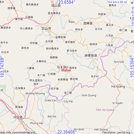
Mabai GPS coordinates[2]
23° 0' 46.044" North, 104° 27' 2.916" East
| Map corner | latitude | longitude |
|---|---|---|
| Upper-left | 23.6584°, | 103.74769° |
| Center: | 23.01279°, | 104.45081° |
| Lower-right: | 22.36408°, | 105.15394° |
| Map W x H: | 143.9×143.9 km | = 89.4×89.4mi |
| max Lat: | 53.31946° ⇑94.4% North |
| Mabai: | 23.01279° |
| min Lat: | ⇓5.6% South 18.22056° |
| min Long | Mabai | max Long |
| 75.07348° | 104.45081° | 134.28917° |
| W 10.3%⇐ | ⇒89.7% E |
Elevation
Elevation of Mabai is 1501 m = 4925 ft, and this is 1016.2 m = 3334 ft above average elevation for this country.
| Max E: |
5622 m = 18445 ft | 8.6% |
| Mabai | 1501 m 4925 ft | |
| Avg. | 484.8 m = 1591 ft | |
Min E: |
-3 m = -10 ft | 91.4% |
See also: Mabai elevation on elevation.city.
Geographical zone
Mabai is located in North Torrid zone (between Equator and Tropic of Cancer). Distance of this Northern Tropic circle is 47.1 km =29.3 mi to North.| Distance of | km | miles | from Mabai |
|---|---|---|---|
| North Pole | 7448.3 | 4628.2 | to North |
| Arctic Circle | 4842.4 | 3008.9 | to North |
| Tropic Cancer | 47.1 | 29.3 | to North |
| Equator | 2558.8 | 1590 | to South |


Nearby cities:
15 places around Mabai: (largest is in red/bold)
• Gejiu
138.1 km =85.8 mi,  286°
286°
• Hekou
69.4 km =43.1 mi,  220°
220°
• Jiangna
66.8 km =41.5 mi,  353°
353°
• Jinhe
126 km =78.3 mi,  257°
257°
• Jinping
115.4 km =71.7 mi, 348°
• Kaihua
43.5 km =27 mi,  335°
335°
• Kaiyuan
139.7 km =86.8 mi,  303°
303°
• Liancheng
131.9 km =82 mi,  28°
28°
• Mali
32.2 km =20 mi,  66°
66°
• Napo Chengxiangzhen
146.5 km =91 mi, 69°
• Wenlan
110.6 km =68.7 mi, 290°
• Wenshan City
44 km =27.3 mi,  332°
332°
• Xinhua
141.4 km =87.9 mi,  60°
60°
• Xisa
55.2 km =34.3 mi, 28°
• Yuping
75.8 km =47.1 mi,  266°
266°
Sources, notices
• [Note1] Compared only with cities in China existing in our database
• [Src1] Map data: © OpenStreetMap contributors (CC-BY-SA)
• [Src2] Other city data from geonames.org with taken over terms of usage.
• [Src3] Geographical zone / Annual Mean Temperature by Robert A. Rohde @ Wikipedia
