Nan’ao geodata
Nan’ao (Guangdong) is a seat of a fourth-order administrative division; located in China in Asia/Shanghai (GMT+8) time zone. In our database, there are 1268 cities with bigger population. Compared to other cities in China, 96.3% of cities are located further ↑North; 51.5% of cities are located further ←West and 63.3% of cities have higher elevation than Nan’ao. Note1


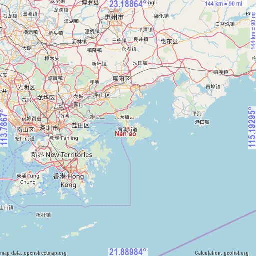
Nan’ao GPS coordinates[2]
22° 32' 26.772" North, 114° 29' 23.352" East
| Map corner | latitude | longitude |
|---|---|---|
| Upper-left | 23.18864°, | 113.7867° |
| Center: | 22.54077°, | 114.48982° |
| Lower-right: | 21.88984°, | 115.19295° |
| Map W x H: | 144.4×144.4 km | = 89.7×89.7mi |
| max Lat: | 53.31946° ⇑96.3% North |
| Nan’ao: | 22.54077° |
| min Lat: | ⇓3.7% South 18.22056° |
| min Long | Nan’ao | max Long |
| 75.07348° | 114.48982° | 134.28917° |
| W 51.5%⇐ | ⇒48.5% E |
Elevation
Elevation of Nan’ao is 81 m = 266 ft, and this is 403.8 m = 1325 ft below average elevation for this country.
| Max E: |
5622 m = 18445 ft | 63.3% |
| Avg. | 484.8 m = 1591 ft | |
| Nan’ao | 81 m = 266 ft | |
Min E: |
-3 m = -10 ft | 36.7% |
See also: China elevation on elevation.city.
Geographical zone
Nan’ao is located in North Torrid zone (between Equator and Tropic of Cancer). Distance of this Northern Tropic circle is 99.6 km =61.9 mi to North.| Distance of | km | miles | from Nan’ao |
|---|---|---|---|
| North Pole | 7500.8 | 4660.8 | to North |
| Arctic Circle | 4894.9 | 3041.5 | to North |
| Tropic Cancer | 99.6 | 61.9 | to North |
| Equator | 2506.3 | 1557.3 | to South |


Nearby cities:
15 places around Nan’ao: (largest is in red/bold)
• Aotou
21.1 km =13.1 mi,  12°
12°
• Danshui
28.7 km =17.8 mi,  355°
355°
• Dapeng
6.9 km =4.3 mi,  345°
345°
• Haishan
28.6 km =17.8 mi,  273°
273°
• Henggang
32.5 km =20.2 mi,  291°
291°
• Kengzi
26.5 km =16.5 mi,  332°
332°
• Kuiyong
13.2 km =8.2 mi,  324°
324°
• Longgang
30.8 km =19.1 mi,  311°
311°
• Meisha
20.4 km =12.7 mi, 288°
• Pingdi
32 km =19.9 mi, 323°
• Pingshan
23.3 km =14.5 mi, 316°
• Qiuchang
31.9 km =19.8 mi, 347°
• Shatoujiao
27.1 km =16.8 mi, 273°
• Xiayong
31.9 km =19.8 mi,  30°
30°
• Yantian
26.3 km =16.3 mi, 274°
Sources, notices
• [Note1] Compared only with cities in China existing in our database
• [Src1] Map data: © OpenStreetMap contributors (CC-BY-SA)
• [Src2] Other city data from geonames.org with taken over terms of usage.
• [Src3] Geographical zone / Annual Mean Temperature by Robert A. Rohde @ Wikipedia
