Yingjiang geodata
Yingjiang (Jiangxi) is a seat of a fourth-order administrative division; located in China in Asia/Shanghai (GMT+8) time zone. In our database, there are 1268 cities with bigger population. Compared to other cities in China, 73% of cities are located further ↑North; 70.3% of cities are located further ←West and 58.9% of cities have lower elevation than Yingjiang. Note1


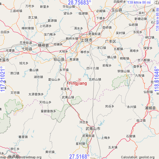
Yingjiang GPS coordinates[2]
28° 8' 18.996" North, 117° 54' 47.988" East
| Map corner | latitude | longitude |
|---|---|---|
| Upper-left | 28.75683°, | 117.21021° |
| Center: | 28.13861°, | 117.91333° |
| Lower-right: | 27.5168°, | 118.61646° |
| Map W x H: | 137.9×137.9 km | = 85.7×85.7mi |
| max Lat: | 53.31946° ⇑73% North |
| Yingjiang: | 28.13861° |
| min Lat: | ⇓27% South 18.22056° |
| min Long | Yingjiang | max Long |
| 75.07348° | 117.91333° | 134.28917° |
| W 70.3%⇐ | ⇒29.7% E |
Elevation
Elevation of Yingjiang is 246 m = 807 ft, and this is 238.8 m = 783 ft below average elevation for this country.
| Max E: |
5622 m = 18445 ft | 41.1% |
| Avg. | 484.8 m = 1591 ft | |
| Yingjiang | 246 m = 807 ft | |
Min E: |
-3 m = -10 ft | 58.9% |
See also: China elevation on elevation.city.
Geographical zone
Yingjiang is located in North temperate zone (between Tropic of Cancer and the Arctic Circle). Distance of this Northern Tropic circle is 522.8 km =324.9 mi to South.| Distance of | km | miles | from Yingjiang |
|---|---|---|---|
| North Pole | 6878.3 | 4274 | to North |
| Arctic Circle | 4272.5 | 2654.8 | to North |
| Tropic Cancer | 522.8 | 324.9 | to South |
| Equator | 3128.7 | 1944.1 | to South |


Nearby cities:
15 places around Yingjiang: (largest is in red/bold)
• Bangluo
22 km =13.7 mi,  327°
327°
• Ehu
20.5 km =12.7 mi, 325°
• Gaozhou
15.8 km =9.8 mi,  94°
94°
• Huangshaling
12.3 km =7.6 mi,  18°
18°
• Jiaxuan
10.3 km =6.4 mi,  302°
302°
• Qingxi
19.1 km =11.9 mi,  345°
345°
• Shanglu
9.8 km =6.1 mi, 19°
• Shitang
7.2 km =4.5 mi,  247°
247°
• Sishiba
15.1 km =9.4 mi,  47°
47°
• Tieshan
19.7 km =12.2 mi,  64°
64°
• Wufushan
13.2 km =8.2 mi, 87°
• Wuyishan
17.9 km =11.1 mi,  213°
213°
• Yanglin
21.7 km =13.5 mi,  270°
270°
• Yongping
15.8 km =9.8 mi, 302°
• Zixi
14.8 km =9.2 mi,  238°
238°
Sources, notices
• [Note1] Compared only with cities in China existing in our database
• [Src1] Map data: © OpenStreetMap contributors (CC-BY-SA)
• [Src2] Other city data from geonames.org with taken over terms of usage.
• [Src3] Geographical zone / Annual Mean Temperature by Robert A. Rohde @ Wikipedia
