Sishiba geodata
Sishiba (Jiangxi) is a seat of a fourth-order administrative division; located in China in Asia/Shanghai (GMT+8) time zone. In our database, there are 1268 cities with bigger population. Compared to other cities in China, 72.1% of cities are located further ↑North; 70.7% of cities are located further ←West and 50.8% of cities have lower elevation than Sishiba. Note1


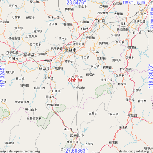
Sishiba GPS coordinates[2]
28° 13' 47.676" North, 118° 1' 39.432" East
| Map corner | latitude | longitude |
|---|---|---|
| Upper-left | 28.8476°, | 117.3245° |
| Center: | 28.22991°, | 118.02762° |
| Lower-right: | 27.60863°, | 118.73075° |
| Map W x H: | 137.8×137.8 km | = 85.6×85.6mi |
| max Lat: | 53.31946° ⇑72.1% North |
| Sishiba: | 28.22991° |
| min Lat: | ⇓27.9% South 18.22056° |
| min Long | Sishiba | max Long |
| 75.07348° | 118.02762° | 134.28917° |
| W 70.7%⇐ | ⇒29.3% E |
Elevation
Elevation of Sishiba is 172 m = 564 ft, and this is 312.8 m = 1026 ft below average elevation for this country.
| Max E: |
5622 m = 18445 ft | 49.2% |
| Avg. | 484.8 m = 1591 ft | |
| Sishiba | 172 m = 564 ft | |
Min E: |
-3 m = -10 ft | 50.8% |
See also: China elevation on elevation.city.
Geographical zone
Sishiba is located in North temperate zone (between Tropic of Cancer and the Arctic Circle). Distance of this Northern Tropic circle is 533 km =331.2 mi to South.| Distance of | km | miles | from Sishiba |
|---|---|---|---|
| North Pole | 6868.2 | 4267.7 | to North |
| Arctic Circle | 4262.3 | 2648.5 | to North |
| Tropic Cancer | 533 | 331.2 | to South |
| Equator | 3138.9 | 1950.4 | to South |


Nearby cities:
15 places around Sishiba: (largest is in red/bold)
• Bangluo
24.4 km =15.2 mi,  290°
290°
• Chaoyang
24.1 km =15 mi,  9°
9°
• Chating
19.6 km =12.2 mi,  315°
315°
• Ehu
23.8 km =14.8 mi, 286°
• Gaozhou
12.2 km =7.6 mi,  158°
158°
• Hengshan
19.2 km =11.9 mi,  59°
59°
• Huangshaling
7.5 km =4.7 mi,  281°
281°
• Jiaxuan
20.4 km =12.7 mi,  256°
256°
• Qingxi
18 km =11.2 mi,  297°
297°
• Shanglu
8 km =5 mi, 263°
• Shitang
22 km =13.7 mi,  234°
234°
• Tieshan
6.8 km =4.2 mi,  103°
103°
• Wufushan
9.8 km =6.1 mi,  168°
168°
• Yingjiang
15.1 km =9.4 mi, 227°
• Yongping
24.5 km =15.2 mi,  266°
266°
Sources, notices
• [Note1] Compared only with cities in China existing in our database
• [Src1] Map data: © OpenStreetMap contributors (CC-BY-SA)
• [Src2] Other city data from geonames.org with taken over terms of usage.
• [Src3] Geographical zone / Annual Mean Temperature by Robert A. Rohde @ Wikipedia
