Dongyuan geodata
Dongyuan (Jiangxi) is a seat of a fourth-order administrative division; located in China in Asia/Shanghai (GMT+8) time zone. In our database, there are 1268 cities with bigger population. Compared to other cities in China, 67.3% of cities are located further ↑North; 62.8% of cities are located further ←West and 82.9% of cities have higher elevation than Dongyuan. Note1


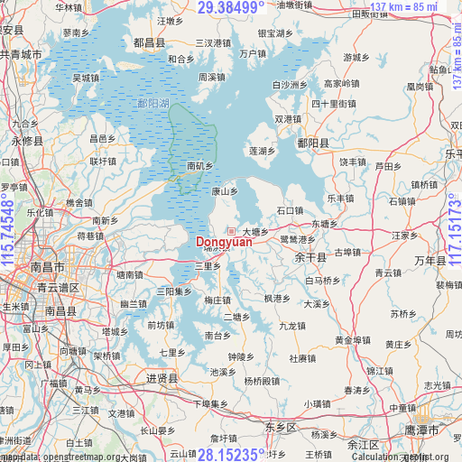
Dongyuan GPS coordinates[2]
28° 46' 13.764" North, 116° 26' 54.96" East
| Map corner | latitude | longitude |
|---|---|---|
| Upper-left | 29.38499°, | 115.74548° |
| Center: | 28.77049°, | 116.4486° |
| Lower-right: | 28.15235°, | 117.15173° |
| Map W x H: | 137.1×137.1 km | = 85.2×85.2mi |
| max Lat: | 53.31946° ⇑67.3% North |
| Dongyuan: | 28.77049° |
| min Lat: | ⇓32.7% South 18.22056° |
| min Long | Dongyuan | max Long |
| 75.07348° | 116.4486° | 134.28917° |
| W 62.8%⇐ | ⇒37.2% E |
Elevation
Elevation of Dongyuan is 20 m = 66 ft, and this is 464.8 m = 1525 ft below average elevation for this country.
| Max E: |
5622 m = 18445 ft | 82.9% |
| Avg. | 484.8 m = 1591 ft | |
| Dongyuan | 20 m = 66 ft | |
Min E: |
-3 m = -10 ft | 17.1% |
See also: China elevation on elevation.city.
Geographical zone
Dongyuan is located in North temperate zone (between Tropic of Cancer and the Arctic Circle). Distance of this Northern Tropic circle is 593.1 km =368.5 mi to South.| Distance of | km | miles | from Dongyuan |
|---|---|---|---|
| North Pole | 6808.1 | 4230.4 | to North |
| Arctic Circle | 4202.2 | 2611.1 | to North |
| Tropic Cancer | 593.1 | 368.5 | to South |
| Equator | 3199 | 1987.8 | to South |


Nearby cities:
15 places around Dongyuan: (largest is in red/bold)
• Datang
6.9 km =4.3 mi,  81°
81°
• Fenggang
23.8 km =14.8 mi,  145°
145°
• Heshan
21.7 km =13.5 mi, 152°
• Hongjiazui
21.9 km =13.6 mi,  111°
111°
• Jiangbu
20.1 km =12.5 mi,  140°
140°
• Jinshanzui
11.6 km =7.2 mi, 110°
• Kangshan
12.4 km =7.7 mi,  352°
352°
• Lusigang
19.7 km =12.2 mi,  95°
95°
• Meixi
5.2 km =3.2 mi,  271°
271°
• Meizhuang
20.6 km =12.8 mi,  191°
191°
• Ruihong
6.2 km =3.9 mi,  223°
223°
• Sanli
12.1 km =7.5 mi,  214°
214°
• Santang
12.2 km =7.6 mi, 108°
• Shikou
18.4 km =11.4 mi,  69°
69°
• Yugan
24.4 km =15.2 mi, 109°
Sources, notices
• [Note1] Compared only with cities in China existing in our database
• [Src1] Map data: © OpenStreetMap contributors (CC-BY-SA)
• [Src2] Other city data from geonames.org with taken over terms of usage.
• [Src3] Geographical zone / Annual Mean Temperature by Robert A. Rohde @ Wikipedia
