Zhoushizhuang geodata
Zhoushizhuang (Shanxi) is a seat of a fourth-order administrative division; located in China in Asia/Shanghai (GMT+8) time zone. In our database, there are 1268 cities with bigger population. Compared to other cities in China, 86.8% of cities are located further ↓South; 54.5% of cities are located further →East and 87.2% of cities have lower elevation than Zhoushizhuang. Note1


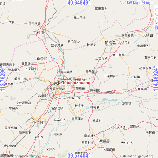
Zhoushizhuang GPS coordinates[2]
40° 6' 50.004" North, 113° 27' 57.996" East
| Map corner | latitude | longitude |
|---|---|---|
| Upper-left | 40.64949°, | 112.76299° |
| Center: | 40.11389°, | 113.46611° |
| Lower-right: | 39.57404°, | 114.16924° |
| Map W x H: | 119.6×119.6 km | = 74.3×74.3mi |
| max Lat: | 53.31946° ⇑13.2% North |
| Zhoushizhuang: | 40.11389° |
| min Lat: | ⇓86.8% South 18.22056° |
| min Long | Zhoushizhuang | max Long |
| 75.07348° | 113.46611° | 134.28917° |
| W 45.5%⇐ | ⇒54.5% E |
Elevation
Elevation of Zhoushizhuang is 1132 m = 3714 ft, and this is 647.2 m = 2123 ft above average elevation for this country.
| Max E: |
5622 m = 18445 ft | 12.8% |
| Zhoushizhuang | 1132 m 3714 ft | |
| Avg. | 484.8 m = 1591 ft | |
Min E: |
-3 m = -10 ft | 87.2% |
See also: China elevation on elevation.city.
Geographical zone
Zhoushizhuang is located in North temperate zone (between Tropic of Cancer and the Arctic Circle). Distance of this Northern Tropic circle is 1854.3 km =1152.2 mi to South.| Distance of | km | miles | from Zhoushizhuang |
|---|---|---|---|
| North Pole | 5546.8 | 3446.6 | to North |
| Arctic Circle | 2940.9 | 1827.4 | to North |
| Tropic Cancer | 1854.3 | 1152.2 | to South |
| Equator | 4460.2 | 2771.4 | to South |


Nearby cities:
15 places around Zhoushizhuang: (largest is in red/bold)
• Beijiazao
6.7 km =4.2 mi,  177°
177°
• Dangliuzhuang
14.4 km =8.9 mi,  195°
195°
• Datong
15 km =9.3 mi,  261°
261°
• Duzhuang
19.9 km =12.4 mi, 179°
• Fengyu
24.1 km =15 mi,  150°
150°
• Guayuan
18.9 km =11.7 mi,  123°
123°
• Jijiazhuang
29.5 km =18.3 mi, 181°
• Jule
10.8 km =6.7 mi,  58°
58°
• Kouquan
30.2 km =18.8 mi,  244°
244°
• Majunying
20.7 km =12.9 mi, 262°
• Maojiazao
27.4 km =17 mi,  217°
217°
• Xihanling
22.2 km =13.8 mi, 240°
• Xinrong
32.3 km =20.1 mi,  299°
299°
• Xiping
14.4 km =8.9 mi,  125°
125°
• Xubu
25.6 km =15.9 mi,  111°
111°
Sources, notices
• [Note1] Compared only with cities in China existing in our database
• [Src1] Map data: © OpenStreetMap contributors (CC-BY-SA)
• [Src2] Other city data from geonames.org with taken over terms of usage.
• [Src3] Geographical zone / Annual Mean Temperature by Robert A. Rohde @ Wikipedia
