Youhao geodata
Youhao (Heilongjiang) is a seat of a third-order administrative division; located in China in Asia/Shanghai (GMT+8) time zone. With population of 78,402 people, there are 544 cities with bigger population in this country. Compared to other cities in China, 98.4% of cities are located further ↓South; 98.3% of cities are located further ←West and 58.2% of cities have lower elevation than Youhao. Note1


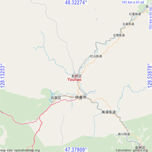
Youhao GPS coordinates[2]
47° 51' 11.016" North, 128° 50' 8.34" East
| Map corner | latitude | longitude |
|---|---|---|
| Upper-left | 48.32274°, | 128.13253° |
| Center: | 47.85306°, | 128.83565° |
| Lower-right: | 47.37909°, | 129.53878° |
| Map W x H: | 104.9×104.9 km | = 65.2×65.2mi |
| max Lat: | 53.31946° ⇑1.6% North |
| Youhao: | 47.85306° |
| min Lat: | ⇓98.4% South 18.22056° |
| min Long | Youhao | max Long |
| 75.07348° | 128.83565° | 134.28917° |
| W 98.3%⇐ | ⇒1.7% E |
Elevation
Elevation of Youhao is 238 m = 781 ft, and this is 246.8 m = 810 ft below average elevation for this country.
| Max E: |
5622 m = 18445 ft | 41.8% |
| Avg. | 484.8 m = 1591 ft | |
| Youhao | 238 m = 781 ft | |
Min E: |
-3 m = -10 ft | 58.2% |
See also: Youhao elevation on elevation.city.
Geographical zone
Youhao is located in North temperate zone (between Tropic of Cancer and the Arctic Circle). Distance of this North polar circle is 2080.4 km =1292.7 mi to North.| Distance of | km | miles | from Youhao |
|---|---|---|---|
| North Pole | 4686.3 | 2911.9 | to North |
| Arctic Circle | 2080.4 | 1292.7 | to North |
| Tropic Cancer | 2714.8 | 1686.9 | to South |
| Equator | 5320.8 | 3306.2 | to South |


Nearby cities:
15 places around Youhao: (largest is in red/bold)
• Dailing
93.2 km =57.9 mi,  171°
171°
• Fendou
66.4 km =41.3 mi,  138°
138°
• Hongshan
19.5 km =12.1 mi,  45°
45°
• Kelin
96.3 km =59.8 mi,  4°
4°
• Langxiang
100.5 km =62.4 mi,  178°
178°
• Lianhe
86.5 km =53.7 mi,  157°
157°
• Meixi
33 km =20.5 mi, 138°
• Shenshu
106.1 km =65.9 mi,  197°
197°
• Shuguang
18.7 km =11.6 mi,  220°
220°
• Wumahe
14.8 km =9.2 mi,  192°
192°
• Xilin
54.6 km =33.9 mi, 140°
• Xinqing
70.3 km =43.7 mi, 46°
• Xuri
14.8 km =9.2 mi, 161°
• Yichun
14.9 km =9.3 mi, 168°
• Yingchun
84.2 km =52.3 mi, 159°
Sources, notices
• [Note1] Compared only with cities in China existing in our database
• [Src1] Map data: © OpenStreetMap contributors (CC-BY-SA)
• [Src2] Other city data from geonames.org with taken over terms of usage.
• [Src3] Geographical zone / Annual Mean Temperature by Robert A. Rohde @ Wikipedia
