Tengke geodata
Tengke (Inner Mongolia) is a seat of a fourth-order administrative division; located in China in Asia/Shanghai (GMT+8) time zone. In our database, there are 1268 cities with bigger population. Compared to other cities in China, 99.1% of cities are located further ↓South; 94.5% of cities are located further ←West and 55% of cities have lower elevation than Tengke. Note1


Tengke GPS coordinates[2]
49° 0' 39.852" North, 124° 43' 30.36" East
| Map corner | latitude | longitude |
|---|---|---|
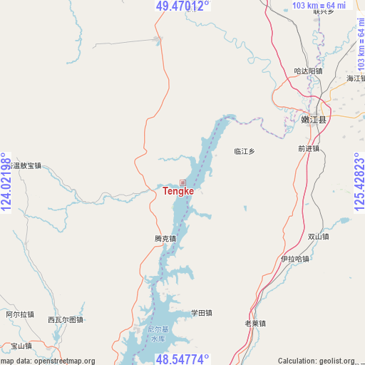
| Upper-left | 49.47012°, | 124.02198° |
| Center: | 49.01107°, | 124.7251° |
| Lower-right: | 48.54774°, | 125.42823° |
| Map W x H: | 102.6×102.6 km | = 63.8×63.8mi |
| max Lat: | 53.31946° ⇑0.9% North |
| Tengke: | 49.01107° |
| min Lat: | ⇓99.1% South 18.22056° |
| min Long | Tengke | max Long |
| 75.07348° | 124.7251° | 134.28917° |
| W 94.5%⇐ | ⇒5.5% E |
Elevation
Elevation of Tengke is 206 m = 676 ft, and this is 278.8 m = 915 ft below average elevation for this country.
| Max E: |
5622 m = 18445 ft | 45% |
| Avg. | 484.8 m = 1591 ft | |
| Tengke | 206 m = 676 ft | |
Min E: |
-3 m = -10 ft | 55% |
See also: China elevation on elevation.city.
Geographical zone
Tengke is located in North temperate zone (between Tropic of Cancer and the Arctic Circle). Distance of this North polar circle is 1951.7 km =1212.7 mi to North.| Distance of | km | miles | from Tengke |
|---|---|---|---|
| North Pole | 4557.5 | 2831.9 | to North |
| Arctic Circle | 1951.7 | 1212.7 | to North |
| Tropic Cancer | 2843.6 | 1766.9 | to South |
| Equator | 5449.5 | 3386.2 | to South |


Nearby cities:
15 places around Tengke: (largest is in red/bold)
• A’erla
58.7 km =36.5 mi,  231°
231°
• Bayan Ewenke Minzu
50.3 km =31.3 mi,  3°
3°
• Changfu
44.4 km =27.6 mi,  69°
69°
• Dengteke
48 km =29.8 mi,  196°
196°
• E’erhe
34.2 km =21.3 mi,  50°
50°
• Hadayang
47.4 km =29.5 mi, 48°
• Hongyan
58.3 km =36.2 mi,  18°
18°
• Kunmi Erdi
47.1 km =29.3 mi,  249°
249°
• Linjiang
19.9 km =12.4 mi,  62°
62°
• Nenjiang
40.2 km =25 mi, 63°
• Qianjin
36.6 km =22.7 mi, 74°
• Shuangshan
40.8 km =25.4 mi,  111°
111°
• Tawen Aobao
44.9 km =27.9 mi,  276°
276°
• Xiwa’ertu
50.9 km =31.6 mi,  220°
220°
• Yilaha
38 km =23.6 mi,  123°
123°
Sources, notices
• [Note1] Compared only with cities in China existing in our database
• [Src1] Map data: © OpenStreetMap contributors (CC-BY-SA)
• [Src2] Other city data from geonames.org with taken over terms of usage.
• [Src3] Geographical zone / Annual Mean Temperature by Robert A. Rohde @ Wikipedia
