Liangtun geodata
Liangtun (Liaoning) is a seat of a fourth-order administrative division; located in China in Asia/Shanghai (GMT+8) time zone. In our database, there are 1268 cities with bigger population. Compared to other cities in China, 87.2% of cities are located further ↓South; 92.1% of cities are located further ←West and 54% of cities have higher elevation than Liangtun. Note1


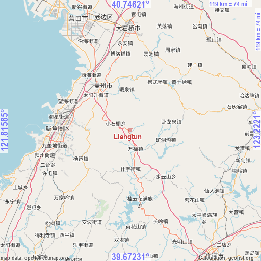
Liangtun GPS coordinates[2]
40° 12' 41.004" North, 122° 31' 8.292" East
| Map corner | latitude | longitude |
|---|---|---|
| Upper-left | 40.74621°, | 121.81585° |
| Center: | 40.21139°, | 122.51897° |
| Lower-right: | 39.67231°, | 123.2221° |
| Map W x H: | 119.4×119.4 km | = 74.2×74.2mi |
| max Lat: | 53.31946° ⇑12.8% North |
| Liangtun: | 40.21139° |
| min Lat: | ⇓87.2% South 18.22056° |
| min Long | Liangtun | max Long |
| 75.07348° | 122.51897° | 134.28917° |
| W 92.1%⇐ | ⇒7.9% E |
Elevation
Elevation of Liangtun is 137 m = 449 ft, and this is 347.8 m = 1141 ft below average elevation for this country.
| Max E: |
5622 m = 18445 ft | 54% |
| Avg. | 484.8 m = 1591 ft | |
| Liangtun | 137 m = 449 ft | |
Min E: |
-3 m = -10 ft | 46% |
See also: China elevation on elevation.city.
Geographical zone
Liangtun is located in North temperate zone (between Tropic of Cancer and the Arctic Circle). Distance of this Northern Tropic circle is 1865.2 km =1159 mi to South.| Distance of | km | miles | from Liangtun |
|---|---|---|---|
| North Pole | 5536 | 3439.9 | to North |
| Arctic Circle | 2930.1 | 1820.7 | to North |
| Tropic Cancer | 1865.2 | 1159 | to South |
| Equator | 4471.1 | 2778.2 | to South |


Nearby cities:
15 places around Liangtun: (largest is in red/bold)
• Bangshipu
25.7 km =16 mi,  28°
28°
• Dongcheng
24.9 km =15.5 mi,  329°
329°
• Gaizhou
24 km =14.9 mi, 327°
• Gulou
24.7 km =15.3 mi, 327°
• Kuangdonggou
16.3 km =10.1 mi,  104°
104°
• Nuanquan
19 km =11.8 mi,  355°
355°
• Shizijie
16.8 km =10.4 mi,  188°
188°
• Shuangtai
20.8 km =12.9 mi,  271°
271°
• Taipingzhuang
25 km =15.5 mi, 100°
• Taiyangsheng
22.2 km =13.8 mi,  322°
322°
• Tuandian
25 km =15.5 mi,  349°
349°
• Wanfu
8.4 km =5.2 mi,  163°
163°
• Wolongquan
19.1 km =11.9 mi,  74°
74°
• Xutun
18.4 km =11.4 mi, 323°
• Yangshufang
8.1 km =5 mi,  295°
295°
Sources, notices
• [Note1] Compared only with cities in China existing in our database
• [Src1] Map data: © OpenStreetMap contributors (CC-BY-SA)
• [Src2] Other city data from geonames.org with taken over terms of usage.
• [Src3] Geographical zone / Annual Mean Temperature by Robert A. Rohde @ Wikipedia
