Fengxiang geodata
Fengxiang (Heilongjiang) is a seat of a third-order administrative division; located in China in Asia/Shanghai (GMT+8) time zone. With population of 42,109 people, there are 799 cities with bigger population in this country. Compared to other cities in China, 98.1% of cities are located further ↓South; 99.8% of cities are located further ←West and 62.3% of cities have higher elevation than Fengxiang. Note1


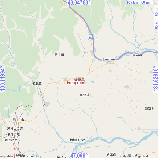
Fengxiang GPS coordinates[2]
47° 34' 31.764" North, 130° 49' 23.016" East
| Map corner | latitude | longitude |
|---|---|---|
| Upper-left | 48.04768°, | 130.11994° |
| Center: | 47.57549°, | 130.82306° |
| Lower-right: | 47.099°, | 131.52619° |
| Map W x H: | 105.5×105.5 km | = 65.6×65.6mi |
| max Lat: | 53.31946° ⇑1.9% North |
| Fengxiang: | 47.57549° |
| min Lat: | ⇓98.1% South 18.22056° |
| min Long | Fengxiang | max Long |
| 75.07348° | 130.82306° | 134.28917° |
| W 99.8%⇐ | ⇒0.2% E |
Elevation
Elevation of Fengxiang is 86 m = 282 ft, and this is 398.8 m = 1308 ft below average elevation for this country.
| Max E: |
5622 m = 18445 ft | 62.3% |
| Avg. | 484.8 m = 1591 ft | |
| Fengxiang | 86 m = 282 ft | |
Min E: |
-3 m = -10 ft | 37.7% |
See also: Fengxiang elevation on elevation.city.
Geographical zone
Fengxiang is located in North temperate zone (between Tropic of Cancer and the Arctic Circle). Distance of this North polar circle is 2111.3 km =1311.9 mi to North.| Distance of | km | miles | from Fengxiang |
|---|---|---|---|
| North Pole | 4717.2 | 2931.1 | to North |
| Arctic Circle | 2111.3 | 1311.9 | to North |
| Tropic Cancer | 2684 | 1667.8 | to South |
| Equator | 5289.9 | 3287 | to South |


Nearby cities:
15 places around Fengxiang: (largest is in red/bold)
• Dongfanghong
45.9 km =28.5 mi,  233°
233°
• Dongming
1.3 km =0.8 mi,  93°
93°
• Dongshan
46.3 km =28.8 mi,  236°
236°
• Gounan
46.2 km =28.7 mi, 238°
• Guangming
48.1 km =29.9 mi, 236°
• Hebei
28.2 km =17.5 mi,  264°
264°
• Hegang
46.6 km =29 mi, 237°
• Hongqi
50.6 km =31.4 mi, 235°
• Huanshan
21.2 km =13.2 mi,  321°
321°
• Mingshan
21.9 km =13.6 mi,  58°
58°
• Shuyuan
49.4 km =30.7 mi, 237°
• Tiexi
50.3 km =31.3 mi, 234°
• Tuanjie
10.8 km =6.7 mi,  160°
160°
• Xing’an
58.3 km =36.2 mi, 231°
• Zhenxing
53.9 km =33.5 mi,  192°
192°
Sources, notices
• [Note1] Compared only with cities in China existing in our database
• [Src1] Map data: © OpenStreetMap contributors (CC-BY-SA)
• [Src2] Other city data from geonames.org with taken over terms of usage.
• [Src3] Geographical zone / Annual Mean Temperature by Robert A. Rohde @ Wikipedia
