Chongshan geodata
Chongshan (Jilin) is a seat of a fourth-order administrative division; located in China in Asia/Shanghai (GMT+8) time zone. In our database, there are 1268 cities with bigger population. Compared to other cities in China, 91.1% of cities are located further ↓South; 98.4% of cities are located further ←West and 76.2% of cities have lower elevation than Chongshan. Note1


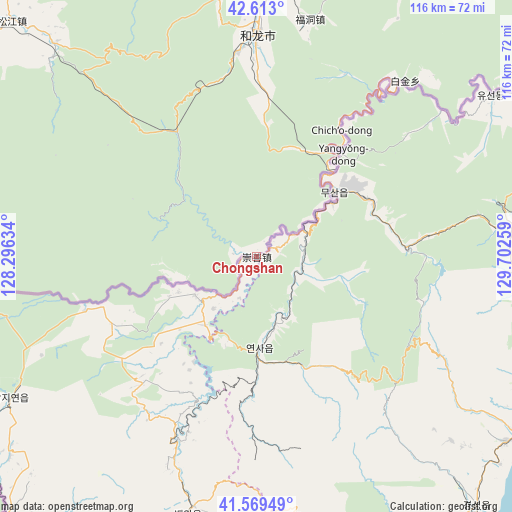
Chongshan GPS coordinates[2]
42° 5' 36.204" North, 128° 59' 58.056" East
| Map corner | latitude | longitude |
|---|---|---|
| Upper-left | 42.613°, | 128.29634° |
| Center: | 42.09339°, | 128.99946° |
| Lower-right: | 41.56949°, | 129.70259° |
| Map W x H: | 116×116 km | = 72.1×72.1mi |
| max Lat: | 53.31946° ⇑8.9% North |
| Chongshan: | 42.09339° |
| min Lat: | ⇓91.1% South 18.22056° |
| min Long | Chongshan | max Long |
| 75.07348° | 128.99946° | 134.28917° |
| W 98.4%⇐ | ⇒1.6% E |
Elevation
Elevation of Chongshan is 552 m = 1811 ft, and this is 67.2 m = 220 ft above average elevation for this country.
| Max E: |
5622 m = 18445 ft | 23.8% |
| Chongshan | 552 m 1811 ft | |
| Avg. | 484.8 m = 1591 ft | |
Min E: |
-3 m = -10 ft | 76.2% |
See also: China elevation on elevation.city.
Geographical zone
Chongshan is located in North temperate zone (between Tropic of Cancer and the Arctic Circle). Distance of this Northern Tropic circle is 2074.4 km =1289 mi to South.| Distance of | km | miles | from Chongshan |
|---|---|---|---|
| North Pole | 5326.7 | 3309.9 | to North |
| Arctic Circle | 2720.8 | 1690.6 | to North |
| Tropic Cancer | 2074.4 | 1289 | to South |
| Equator | 4680.3 | 2908.2 | to South |


Nearby cities:
15 places around Chongshan: (largest is in red/bold)
• Bajiazi
64.4 km =40 mi,  8°
8°
• Beixinjie
74.6 km =46.4 mi, 12°
• Dalazi
76.3 km =47.4 mi,  37°
37°
• Erdao
67.6 km =42 mi, 6°
• Erdaobaihe
81.9 km =50.9 mi,  296°
296°
• Fudong
54.8 km =34.1 mi, 12°
• Helong
49.6 km =30.8 mi,  359°
359°
• Longjing
83 km =51.6 mi,  24°
24°
• Nanping
25.3 km =15.7 mi, 41°
• Pucheng
77.1 km =47.9 mi, 20°
• Sandao
66.2 km =41.1 mi,  316°
316°
• Sanhe
74 km =46 mi,  54°
54°
• Songjiang
76.7 km =47.7 mi,  314°
314°
• Tushan
59.5 km =37 mi,  2°
2°
• Xianpudong
51.7 km =32.1 mi, 39°
Sources, notices
• [Note1] Compared only with cities in China existing in our database
• [Src1] Map data: © OpenStreetMap contributors (CC-BY-SA)
• [Src2] Other city data from geonames.org with taken over terms of usage.
• [Src3] Geographical zone / Annual Mean Temperature by Robert A. Rohde @ Wikipedia
