Chengzihe geodata
Chengzihe (Heilongjiang) is a populated place; located in China in Asia/Shanghai (GMT+8) time zone. With population of 98,188 people, there are 434 cities with bigger population in this country. Compared to other cities in China, 94.2% of cities are located further ↓South; 99.9% of cities are located further ←West and 55.4% of cities have lower elevation than Chengzihe. Note1


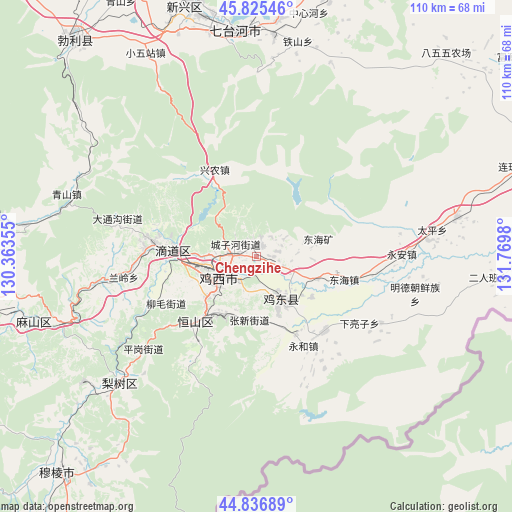
Chengzihe GPS coordinates[2]
45° 19' 59.988" North, 131° 4' 0.012" East
| Map corner | latitude | longitude |
|---|---|---|
| Upper-left | 45.82546°, | 130.36355° |
| Center: | 45.33333°, | 131.06667° |
| Lower-right: | 44.83689°, | 131.7698° |
| Map W x H: | 109.9×109.9 km | = 68.3×68.3mi |
| max Lat: | 53.31946° ⇑5.8% North |
| Chengzihe: | 45.33333° |
| min Lat: | ⇓94.2% South 18.22056° |
| min Long | Chengzihe | max Long |
| 75.07348° | 131.06667° | 134.28917° |
| W 99.9%⇐ | ⇒0.099999999999994% E |
Elevation
Elevation of Chengzihe is 210 m = 689 ft, and this is 274.8 m = 902 ft below average elevation for this country.
| Max E: |
5622 m = 18445 ft | 44.6% |
| Avg. | 484.8 m = 1591 ft | |
| Chengzihe | 210 m = 689 ft | |
Min E: |
-3 m = -10 ft | 55.4% |
See also: Chengzihe elevation on elevation.city.
Geographical zone
Chengzihe is located in North temperate zone (between Tropic of Cancer and the Arctic Circle). Distance of this North polar circle is 2360.6 km =1466.8 mi to North.| Distance of | km | miles | from Chengzihe |
|---|---|---|---|
| North Pole | 4966.5 | 3086 | to North |
| Arctic Circle | 2360.6 | 1466.8 | to North |
| Tropic Cancer | 2434.7 | 1512.9 | to South |
| Equator | 5040.6 | 3132.1 | to South |


Nearby cities:
15 places around Chengzihe: (largest is in red/bold)
• Didaohe
17.6 km =10.9 mi,  276°
276°
• Dongxing
22.1 km =13.7 mi, 277°
• Fendou
18.6 km =11.6 mi,  223°
223°
• Hongjunlu
7.8 km =4.8 mi,  244°
244°
• Hongqi
17.4 km =10.8 mi, 219°
• Hongxing
10.6 km =6.6 mi,  231°
231°
• Jidong
13 km =8.1 mi,  174°
174°
• Jixi
9.3 km =5.8 mi,  247°
247°
• Lanling
28.9 km =18 mi,  261°
261°
• Lishu
40 km =24.9 mi, 227°
• Mashan
44.6 km =27.7 mi, 251°
• Wanbaohe
49.8 km =30.9 mi,  351°
351°
• Xiaowuzhan
49.7 km =30.9 mi,  331°
331°
• Xijiao
9.5 km =5.9 mi, 260°
• Xingnong
20.9 km =13 mi, 333°
Sources, notices
• [Note1] Compared only with cities in China existing in our database
• [Src1] Map data: © OpenStreetMap contributors (CC-BY-SA)
• [Src2] Other city data from geonames.org with taken over terms of usage.
• [Src3] Geographical zone / Annual Mean Temperature by Robert A. Rohde @ Wikipedia
