Bailingmiao geodata
Bailingmiao (Inner Mongolia) is a seat of a third-order administrative division; located in China in Asia/Shanghai (GMT+8) time zone. In our database, there are 1268 cities with bigger population. Compared to other cities in China, 90.5% of cities are located further ↓South; 69.3% of cities are located further →East and 90.3% of cities have lower elevation than Bailingmiao. Note1


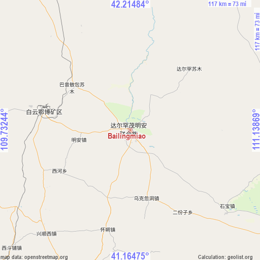
Bailingmiao GPS coordinates[2]
41° 41' 30.984" North, 110° 26' 8.016" East
| Map corner | latitude | longitude |
|---|---|---|
| Upper-left | 42.21484°, | 109.73244° |
| Center: | 41.69194°, | 110.43556° |
| Lower-right: | 41.16475°, | 111.13869° |
| Map W x H: | 116.8×116.8 km | = 72.6×72.6mi |
| max Lat: | 53.31946° ⇑9.5% North |
| Bailingmiao: | 41.69194° |
| min Lat: | ⇓90.5% South 18.22056° |
| min Long | Bailingmiao | max Long |
| 75.07348° | 110.43556° | 134.28917° |
| W 30.7%⇐ | ⇒69.3% E |
Elevation
Elevation of Bailingmiao is 1385 m = 4544 ft, and this is 900.2 m = 2953 ft above average elevation for this country.
| Max E: |
5622 m = 18445 ft | 9.7% |
| Bailingmiao | 1385 m 4544 ft | |
| Avg. | 484.8 m = 1591 ft | |
Min E: |
-3 m = -10 ft | 90.3% |
See also: China elevation on elevation.city.
Geographical zone
Bailingmiao is located in North temperate zone (between Tropic of Cancer and the Arctic Circle). Distance of this Northern Tropic circle is 2029.8 km =1261.3 mi to South.| Distance of | km | miles | from Bailingmiao |
|---|---|---|---|
| North Pole | 5371.4 | 3337.6 | to North |
| Arctic Circle | 2765.5 | 1718.4 | to North |
| Tropic Cancer | 2029.8 | 1261.3 | to South |
| Equator | 4635.7 | 2880.5 | to South |


Nearby cities:
15 places around Bailingmiao: (largest is in red/bold)
• Bailingnao
48.1 km =29.9 mi,  201°
201°
• Butahai
45.5 km =28.3 mi,  193°
193°
• Damiao
66.9 km =41.6 mi,  174°
174°
• Donggong Cilao
54.7 km =34 mi,  180°
180°
• Donghongsheng
54.7 km =34 mi,  136°
136°
• Dongshengyong
77.2 km =48 mi, 200°
• Erfenzi
43.7 km =27.2 mi,  146°
146°
• Hongnijing
62.2 km =38.6 mi,  237°
237°
• Jinshan
79.9 km =49.6 mi, 203°
• Tongyangdao
39.6 km =24.6 mi,  282°
282°
• Xidoupu
74.3 km =46.2 mi,  225°
225°
• Xihong Shanzi
58.9 km =36.6 mi,  159°
159°
• Xiwulan Bulang
77.7 km =48.3 mi, 145°
• Yinhao
64.5 km =40.1 mi, 189°
• Zhonghouhe
77.1 km =47.9 mi, 136°
Sources, notices
• [Note1] Compared only with cities in China existing in our database
• [Src1] Map data: © OpenStreetMap contributors (CC-BY-SA)
• [Src2] Other city data from geonames.org with taken over terms of usage.
• [Src3] Geographical zone / Annual Mean Temperature by Robert A. Rohde @ Wikipedia
