Maying geodata
Maying (Sichuan) is a seat of a fourth-order administrative division; located in China in Asia/Shanghai (GMT+8) time zone. In our database, there are 1268 cities with bigger population. Compared to other cities in China, 63.1% of cities are located further ↓South; 86.4% of cities are located further →East and 81.8% of cities have lower elevation than Maying. Note1


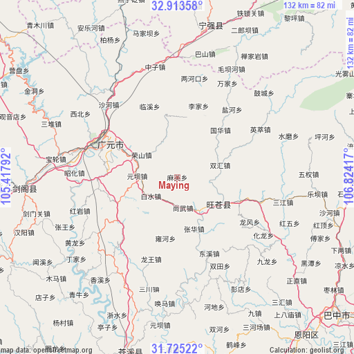
Maying GPS coordinates[2]
32° 19' 16.86" North, 106° 7' 15.744" East
| Map corner | latitude | longitude |
|---|---|---|
| Upper-left | 32.91358°, | 105.41792° |
| Center: | 32.32135°, | 106.12104° |
| Lower-right: | 31.72522°, | 106.82417° |
| Map W x H: | 132.1×132.1 km | = 82.1×82.1mi |
| max Lat: | 53.31946° ⇑36.9% North |
| Maying: | 32.32135° |
| min Lat: | ⇓63.1% South 18.22056° |
| min Long | Maying | max Long |
| 75.07348° | 106.12104° | 134.28917° |
| W 13.6%⇐ | ⇒86.4% E |
Elevation
Elevation of Maying is 777 m = 2549 ft, and this is 292.2 m = 959 ft above average elevation for this country.
| Max E: |
5622 m = 18445 ft | 18.2% |
| Maying | 777 m 2549 ft | |
| Avg. | 484.8 m = 1591 ft | |
Min E: |
-3 m = -10 ft | 81.8% |
See also: China elevation on elevation.city.
Geographical zone
Maying is located in North temperate zone (between Tropic of Cancer and the Arctic Circle). Distance of this Northern Tropic circle is 987.9 km =613.9 mi to South.| Distance of | km | miles | from Maying |
|---|---|---|---|
| North Pole | 6413.3 | 3985 | to North |
| Arctic Circle | 3807.4 | 2365.8 | to North |
| Tropic Cancer | 987.9 | 613.9 | to South |
| Equator | 3593.8 | 2233.1 | to South |


Nearby cities:
15 places around Maying: (largest is in red/bold)
• Baishui
12.1 km =7.5 mi,  234°
234°
• Donghe
19.6 km =12.2 mi,  119°
119°
• Dongxi
30.8 km =19.1 mi,  157°
157°
• Guangyuan
31 km =19.3 mi,  295°
295°
• Guohua
23.8 km =14.8 mi,  42°
42°
• Huangyang
25 km =15.5 mi,  111°
111°
• Jiachuan
15.3 km =9.5 mi,  144°
144°
• Lijia
27.7 km =17.2 mi,  16°
16°
• Linxi
28.4 km =17.6 mi,  338°
338°
• Longfeng
31.5 km =19.6 mi, 122°
• Maliu
23.8 km =14.8 mi, 342°
• Shangwu
11.6 km =7.2 mi,  169°
169°
• Wangjia
22.9 km =14.2 mi,  8°
8°
• Yuanba
15 km =9.3 mi,  271°
271°
• Zhanghua
20.2 km =12.6 mi, 162°
Sources, notices
• [Note1] Compared only with cities in China existing in our database
• [Src1] Map data: © OpenStreetMap contributors (CC-BY-SA)
• [Src2] Other city data from geonames.org with taken over terms of usage.
• [Src3] Geographical zone / Annual Mean Temperature by Robert A. Rohde @ Wikipedia
