Wangjia geodata
Wangjia (Sichuan) is a seat of a fourth-order administrative division; located in China in Asia/Shanghai (GMT+8) time zone. In our database, there are 1268 cities with bigger population. Compared to other cities in China, 64.1% of cities are located further ↓South; 86.3% of cities are located further →East and 88.8% of cities have lower elevation than Wangjia. Note1


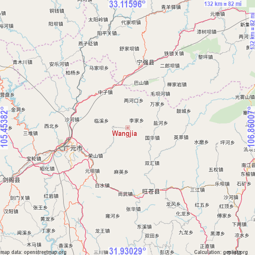
Wangjia GPS coordinates[2]
32° 31' 30.288" North, 106° 9' 24.984" East
| Map corner | latitude | longitude |
|---|---|---|
| Upper-left | 33.11596°, | 105.45382° |
| Center: | 32.52508°, | 106.15694° |
| Lower-right: | 31.93029°, | 106.86007° |
| Map W x H: | 131.8×131.8 km | = 81.9×81.9mi |
| max Lat: | 53.31946° ⇑35.9% North |
| Wangjia: | 32.52508° |
| min Lat: | ⇓64.1% South 18.22056° |
| min Long | Wangjia | max Long |
| 75.07348° | 106.15694° | 134.28917° |
| W 13.7%⇐ | ⇒86.3% E |
Elevation
Elevation of Wangjia is 1256 m = 4121 ft, and this is 771.2 m = 2530 ft above average elevation for this country.
| Max E: |
5622 m = 18445 ft | 11.2% |
| Wangjia | 1256 m 4121 ft | |
| Avg. | 484.8 m = 1591 ft | |
Min E: |
-3 m = -10 ft | 88.8% |
See also: China elevation on elevation.city.
Geographical zone
Wangjia is located in North temperate zone (between Tropic of Cancer and the Arctic Circle). Distance of this Northern Tropic circle is 1010.5 km =627.9 mi to South.| Distance of | km | miles | from Wangjia |
|---|---|---|---|
| North Pole | 6390.6 | 3970.9 | to North |
| Arctic Circle | 3784.7 | 2351.7 | to North |
| Tropic Cancer | 1010.5 | 627.9 | to South |
| Equator | 3616.4 | 2247.1 | to South |


Nearby cities:
15 places around Wangjia: (largest is in red/bold)
• Chaotian
28.7 km =17.8 mi,  297°
297°
• Guohua
13.7 km =8.5 mi,  111°
111°
• Huangbayi
25.7 km =16 mi,  353°
353°
• Lijia
6 km =3.7 mi,  49°
49°
• Linxi
14.1 km =8.8 mi,  285°
285°
• Maliu
10.3 km =6.4 mi,  270°
270°
• Maying
22.9 km =14.2 mi,  188°
188°
• Pingxi
15.6 km =9.7 mi,  334°
334°
• Qinglin
30.2 km =18.8 mi,  337°
337°
• Yanhe
17.2 km =10.7 mi,  81°
81°
• Yingcui
28 km =17.4 mi,  99°
99°
• Yuanba
28.8 km =17.9 mi,  219°
219°
• Zengjia
11.7 km =7.3 mi, 333°
• Zhongzi
21.9 km =13.6 mi, 327°
• Zhuandou
21.9 km =13.6 mi, 339°
Sources, notices
• [Note1] Compared only with cities in China existing in our database
• [Src1] Map data: © OpenStreetMap contributors (CC-BY-SA)
• [Src2] Other city data from geonames.org with taken over terms of usage.
• [Src3] Geographical zone / Annual Mean Temperature by Robert A. Rohde @ Wikipedia
