Dongyang geodata
Dongyang (Shaanxi) is a seat of a fourth-order administrative division; located in China in Asia/Shanghai (GMT+8) time zone. In our database, there are 1268 cities with bigger population. Compared to other cities in China, 72% of cities are located further ↓South; 73.2% of cities are located further →East and 77.4% of cities have lower elevation than Dongyang. Note1


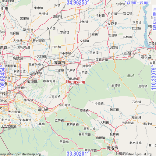
Dongyang GPS coordinates[2]
34° 23' 3.408" North, 109° 37' 39.576" East
| Map corner | latitude | longitude |
|---|---|---|
| Upper-left | 34.96253°, | 108.92454° |
| Center: | 34.38428°, | 109.62766° |
| Lower-right: | 33.80201°, | 110.33079° |
| Map W x H: | 129×129 km | = 80.2×80.2mi |
| max Lat: | 53.31946° ⇑28% North |
| Dongyang: | 34.38428° |
| min Lat: | ⇓72% South 18.22056° |
| min Long | Dongyang | max Long |
| 75.07348° | 109.62766° | 134.28917° |
| W 26.8%⇐ | ⇒73.2% E |
Elevation
Elevation of Dongyang is 587 m = 1926 ft, and this is 102.2 m = 335 ft above average elevation for this country.
| Max E: |
5622 m = 18445 ft | 22.6% |
| Dongyang | 587 m 1926 ft | |
| Avg. | 484.8 m = 1591 ft | |
Min E: |
-3 m = -10 ft | 77.4% |
See also: China elevation on elevation.city.
Geographical zone
Dongyang is located in North temperate zone (between Tropic of Cancer and the Arctic Circle). Distance of this Northern Tropic circle is 1217.3 km =756.4 mi to South.| Distance of | km | miles | from Dongyang |
|---|---|---|---|
| North Pole | 6183.9 | 3842.5 | to North |
| Arctic Circle | 3578 | 2223.3 | to North |
| Tropic Cancer | 1217.3 | 756.4 | to South |
| Equator | 3823.2 | 2375.6 | to South |


Nearby cities:
15 places around Dongyang: (largest is in red/bold)
• Chishui
13.7 km =8.5 mi,  5°
5°
• Chongning
3.8 km =2.4 mi,  266°
266°
• Daming
6.5 km =4 mi,  39°
39°
• Dawang
16.7 km =10.4 mi,  237°
237°
• Fengyuan
9 km =5.6 mi,  319°
319°
• Gaotang
3.3 km =2.1 mi, 42°
• Guapo
12.6 km =7.8 mi,  34°
34°
• Hexi
9.9 km =6.2 mi,  287°
287°
• Jinhui
8.4 km =5.2 mi,  52°
52°
• Qiaonan
5.6 km =3.5 mi,  215°
215°
• Sanzhang
16.8 km =10.4 mi, 294°
• Tielu
17 km =10.6 mi, 273°
• Xinglin
17.2 km =10.7 mi, 45°
• Yancun
12.8 km =8 mi, 287°
• Yangguo
10.4 km =6.5 mi,  252°
252°
Sources, notices
• [Note1] Compared only with cities in China existing in our database
• [Src1] Map data: © OpenStreetMap contributors (CC-BY-SA)
• [Src2] Other city data from geonames.org with taken over terms of usage.
• [Src3] Geographical zone / Annual Mean Temperature by Robert A. Rohde @ Wikipedia
