Quwa geodata
Quwa (Gansu) is a seat of a fourth-order administrative division; located in China in Asia/Shanghai (GMT+8) time zone. In our database, there are 1268 cities with bigger population. Compared to other cities in China, 69.7% of cities are located further ↓South; 90.3% of cities are located further →East and 94.2% of cities have lower elevation than Quwa. Note1


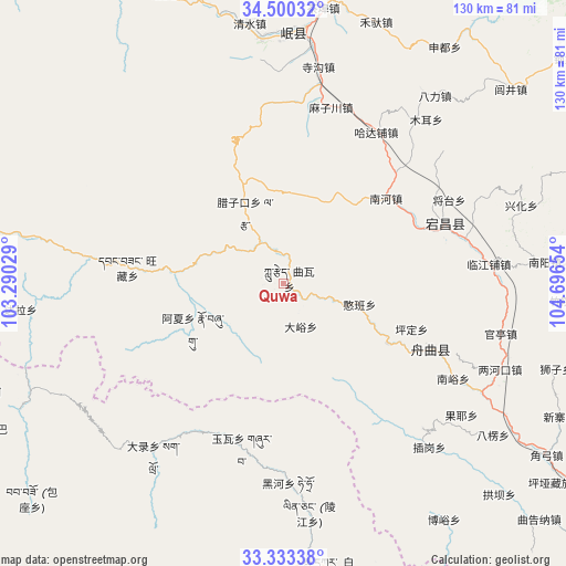
Quwa GPS coordinates[2]
33° 55' 7.86" North, 103° 59' 36.276" East
| Map corner | latitude | longitude |
|---|---|---|
| Upper-left | 34.50032°, | 103.29029° |
| Center: | 33.91885°, | 103.99341° |
| Lower-right: | 33.33338°, | 104.69654° |
| Map W x H: | 129.8×129.8 km | = 80.7×80.7mi |
| max Lat: | 53.31946° ⇑30.3% North |
| Quwa: | 33.91885° |
| min Lat: | ⇓69.7% South 18.22056° |
| min Long | Quwa | max Long |
| 75.07348° | 103.99341° | 134.28917° |
| W 9.7%⇐ | ⇒90.3% E |
Elevation
Elevation of Quwa is 1892 m = 6207 ft, and this is 1407.2 m = 4617 ft above average elevation for this country.
| Max E: |
5622 m = 18445 ft | 5.8% |
| Quwa | 1892 m 6207 ft | |
| Avg. | 484.8 m = 1591 ft | |
Min E: |
-3 m = -10 ft | 94.2% |
See also: China elevation on elevation.city.
Geographical zone
Quwa is located in North temperate zone (between Tropic of Cancer and the Arctic Circle). Distance of this Northern Tropic circle is 1165.5 km =724.2 mi to South.| Distance of | km | miles | from Quwa |
|---|---|---|---|
| North Pole | 6235.6 | 3874.6 | to North |
| Arctic Circle | 3629.8 | 2255.5 | to North |
| Tropic Cancer | 1165.5 | 724.2 | to South |
| Equator | 3771.4 | 2343.4 | to South |


Nearby cities:
15 places around Quwa: (largest is in red/bold)
• Bazang
4.5 km =2.8 mi,  115°
115°
• Dayu
10.6 km =6.6 mi,  156°
156°
• Fengdie
26.2 km =16.3 mi, 117°
• Hanban
18.3 km =11.4 mi,  106°
106°
• Hejiabao
32.5 km =20.2 mi,  66°
66°
• Huayuan
21.5 km =13.4 mi,  284°
284°
• Jiangpan
37.7 km =23.4 mi, 114°
• Lazi
18.8 km =11.7 mi,  330°
330°
• Lijie
7.4 km =4.6 mi,  104°
104°
• Luoda
7.6 km =4.7 mi,  351°
351°
• Nanhe
30.5 km =19 mi,  50°
50°
• Pingding
31.1 km =19.3 mi, 109°
• Sangba
23 km =14.3 mi,  305°
305°
• Wangcang
36.5 km =22.7 mi, 275°
• Zhouqu Chengguanzhen
37.3 km =23.2 mi, 113°
Sources, notices
• [Note1] Compared only with cities in China existing in our database
• [Src1] Map data: © OpenStreetMap contributors (CC-BY-SA)
• [Src2] Other city data from geonames.org with taken over terms of usage.
• [Src3] Geographical zone / Annual Mean Temperature by Robert A. Rohde @ Wikipedia
