Xintang geodata
Xintang (Guangdong) is a seat of a fourth-order administrative division; located in China in Asia/Shanghai (GMT+8) time zone. In our database, there are 1268 cities with bigger population. Compared to other cities in China, 93.7% of cities are located further ↑North; 54.9% of cities are located further →East and 79.3% of cities have higher elevation than Xintang. Note1


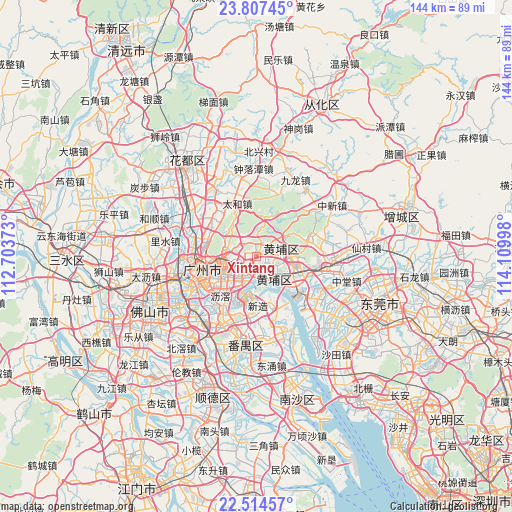
Xintang GPS coordinates[2]
23° 9' 45.252" North, 113° 24' 24.66" East
| Map corner | latitude | longitude |
|---|---|---|
| Upper-left | 23.80745°, | 112.70373° |
| Center: | 23.16257°, | 113.40685° |
| Lower-right: | 22.51457°, | 114.10998° |
| Map W x H: | 143.8×143.8 km | = 89.4×89.4mi |
| max Lat: | 53.31946° ⇑93.7% North |
| Xintang: | 23.16257° |
| min Lat: | ⇓6.3% South 18.22056° |
| min Long | Xintang | max Long |
| 75.07348° | 113.40685° | 134.28917° |
| W 45.1%⇐ | ⇒54.9% E |
Elevation
Elevation of Xintang is 28 m = 92 ft, and this is 456.8 m = 1499 ft below average elevation for this country.
| Max E: |
5622 m = 18445 ft | 79.3% |
| Avg. | 484.8 m = 1591 ft | |
| Xintang | 28 m = 92 ft | |
Min E: |
-3 m = -10 ft | 20.7% |
See also: China elevation on elevation.city.
Geographical zone
Xintang is located in North Torrid zone (between Equator and Tropic of Cancer). Distance of this Northern Tropic circle is 30.5 km =19 mi to North.| Distance of | km | miles | from Xintang |
|---|---|---|---|
| North Pole | 7431.6 | 4617.8 | to North |
| Arctic Circle | 4825.7 | 2998.6 | to North |
| Tropic Cancer | 30.5 | 19 | to North |
| Equator | 2575.4 | 1600.3 | to South |


Nearby cities:
15 places around Xintang: (largest is in red/bold)
• Changxing
6.4 km =4 mi,  285°
285°
• Changzhou
9.1 km =5.7 mi,  170°
170°
• Dasha
6.8 km =4.2 mi,  148°
148°
• Hongshan
9 km =5.6 mi,  137°
137°
• Hualong
13.7 km =8.5 mi,  161°
161°
• Huangcun
3.7 km =2.3 mi,  178°
178°
• Lianhe
6 km =3.7 mi,  0°
0°
• Longdong
5.5 km =3.4 mi,  319°
319°
• Luogang
9.8 km =6.1 mi,  79°
79°
• Suidong
13.4 km =8.3 mi,  130°
130°
• Tonghe
10.2 km =6.3 mi,  295°
295°
• Wushan
6.1 km =3.8 mi,  266°
266°
• Xinzao
13.3 km =8.3 mi, 176°
• Yongping
13.4 km =8.3 mi,  306°
306°
• Yuzhu
7 km =4.3 mi, 162°
Sources, notices
• [Note1] Compared only with cities in China existing in our database
• [Src1] Map data: © OpenStreetMap contributors (CC-BY-SA)
• [Src2] Other city data from geonames.org with taken over terms of usage.
• [Src3] Geographical zone / Annual Mean Temperature by Robert A. Rohde @ Wikipedia
