Yuannan geodata
Yuannan (Guangdong) is a seat of a fourth-order administrative division; located in China in Asia/Shanghai (GMT+8) time zone. In our database, there are 1268 cities with bigger population. Compared to other cities in China, 91.1% of cities are located further ↑North; 52.5% of cities are located further ←West and 77.7% of cities have higher elevation than Yuannan. Note1


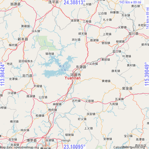
Yuannan GPS coordinates[2]
23° 44' 46.068" North, 114° 41' 14.496" East
| Map corner | latitude | longitude |
|---|---|---|
| Upper-left | 24.38813°, | 113.98424° |
| Center: | 23.74613°, | 114.68736° |
| Lower-right: | 23.10095°, | 115.39049° |
| Map W x H: | 143.1×143.1 km | = 88.9×88.9mi |
| max Lat: | 53.31946° ⇑91.1% North |
| Yuannan: | 23.74613° |
| min Lat: | ⇓8.9% South 18.22056° |
| min Long | Yuannan | max Long |
| 75.07348° | 114.68736° | 134.28917° |
| W 52.5%⇐ | ⇒47.5% E |
Elevation
Elevation of Yuannan is 31 m = 102 ft, and this is 453.8 m = 1489 ft below average elevation for this country.
| Max E: |
5622 m = 18445 ft | 77.7% |
| Avg. | 484.8 m = 1591 ft | |
| Yuannan | 31 m = 102 ft | |
Min E: |
-3 m = -10 ft | 22.3% |
See also: China elevation on elevation.city.
Geographical zone
Yuannan is located in North temperate zone (between Tropic of Cancer and the Arctic Circle). Distance of this Northern Tropic circle is 34.4 km =21.4 mi to South.| Distance of | km | miles | from Yuannan |
|---|---|---|---|
| North Pole | 7366.7 | 4577.5 | to North |
| Arctic Circle | 4760.9 | 2958.3 | to North |
| Tropic Cancer | 34.4 | 21.4 | to South |
| Equator | 2640.3 | 1640.6 | to South |


Nearby cities:
15 places around Yuannan: (largest is in red/bold)
• Baipu
17.2 km =10.7 mi,  103°
103°
• Dengta
31.1 km =19.3 mi,  19°
19°
• Dongpu
0.9 km =0.6 mi,  41°
41°
• Guzhu
25.7 km =16 mi,  175°
175°
• Heyuan
1.5 km =0.9 mi,  196°
196°
• Jiushe
27.9 km =17.3 mi,  82°
82°
• Linjiang
10.6 km =6.6 mi, 176°
• Shangcheng
1.3 km =0.8 mi,  120°
120°
• Shiba
26.1 km =16.2 mi,  206°
206°
• Shuangjiang
22.9 km =14.2 mi,  6°
6°
• Xiantang
12 km =7.5 mi, 42°
• Xingang
6.4 km =4 mi,  308°
308°
• Xinhuilong
31 km =19.3 mi,  272°
272°
• Yihe
21.7 km =13.5 mi,  61°
61°
• Yirong
28.8 km =17.9 mi,  149°
149°
Sources, notices
• [Note1] Compared only with cities in China existing in our database
• [Src1] Map data: © OpenStreetMap contributors (CC-BY-SA)
• [Src2] Other city data from geonames.org with taken over terms of usage.
• [Src3] Geographical zone / Annual Mean Temperature by Robert A. Rohde @ Wikipedia
