Shangcheng geodata
Shangcheng (Guangdong) is a seat of a fourth-order administrative division; located in China in Asia/Shanghai (GMT+8) time zone. In our database, there are 1268 cities with bigger population. Compared to other cities in China, 91.1% of cities are located further ↑North; 52.6% of cities are located further ←West and 73% of cities have higher elevation than Shangcheng. Note1


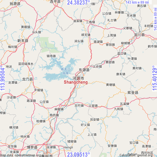
Shangcheng GPS coordinates[2]
23° 44' 25.224" North, 114° 41' 53.376" East
| Map corner | latitude | longitude |
|---|---|---|
| Upper-left | 24.38237°, | 113.99504° |
| Center: | 23.74034°, | 114.69816° |
| Lower-right: | 23.09513°, | 115.40129° |
| Map W x H: | 143.1×143.1 km | = 88.9×88.9mi |
| max Lat: | 53.31946° ⇑91.1% North |
| Shangcheng: | 23.74034° |
| min Lat: | ⇓8.9% South 18.22056° |
| min Long | Shangcheng | max Long |
| 75.07348° | 114.69816° | 134.28917° |
| W 52.6%⇐ | ⇒47.4% E |
Elevation
Elevation of Shangcheng is 42 m = 138 ft, and this is 442.8 m = 1453 ft below average elevation for this country.
| Max E: |
5622 m = 18445 ft | 73% |
| Avg. | 484.8 m = 1591 ft | |
| Shangcheng | 42 m = 138 ft | |
Min E: |
-3 m = -10 ft | 27% |
See also: China elevation on elevation.city.
Geographical zone
Shangcheng is located in North temperate zone (between Tropic of Cancer and the Arctic Circle). Distance of this Northern Tropic circle is 33.8 km =21 mi to South.| Distance of | km | miles | from Shangcheng |
|---|---|---|---|
| North Pole | 7367.4 | 4577.9 | to North |
| Arctic Circle | 4761.5 | 2958.7 | to North |
| Tropic Cancer | 33.8 | 21 | to South |
| Equator | 2639.7 | 1640.2 | to South |


Nearby cities:
15 places around Shangcheng: (largest is in red/bold)
• Baipu
16 km =9.9 mi,  102°
102°
• Dengta
31.4 km =19.5 mi,  16°
16°
• Dongpu
1.4 km =0.9 mi,  337°
337°
• Guzhu
25 km =15.5 mi,  178°
178°
• Heyuan
1.7 km =1.1 mi,  242°
242°
• Huangtang
30.3 km =18.8 mi, 100°
• Jiushe
26.9 km =16.7 mi,  80°
80°
• Linjiang
9.9 km =6.2 mi, 182°
• Shiba
26.1 km =16.2 mi,  209°
209°
• Shuangjiang
23.4 km =14.5 mi,  3°
3°
• Xiantang
11.8 km =7.3 mi,  36°
36°
• Xingang
7.6 km =4.7 mi,  307°
307°
• Yihe
21 km =13 mi,  58°
58°
• Yirong
27.7 km =17.2 mi,  150°
150°
• Yuannan
1.3 km =0.8 mi,  300°
300°
Sources, notices
• [Note1] Compared only with cities in China existing in our database
• [Src1] Map data: © OpenStreetMap contributors (CC-BY-SA)
• [Src2] Other city data from geonames.org with taken over terms of usage.
• [Src3] Geographical zone / Annual Mean Temperature by Robert A. Rohde @ Wikipedia
