Gongbailiang geodata
Gongbailiang (Ningxia Hui Autonomous Region) is a seat of a fourth-order administrative division; located in China in Asia/Shanghai (GMT+8) time zone. In our database, there are 1268 cities with bigger population. Compared to other cities in China, 77.9% of cities are located further ↓South; 85.8% of cities are located further →East and 94.7% of cities have lower elevation than Gongbailiang. Note1


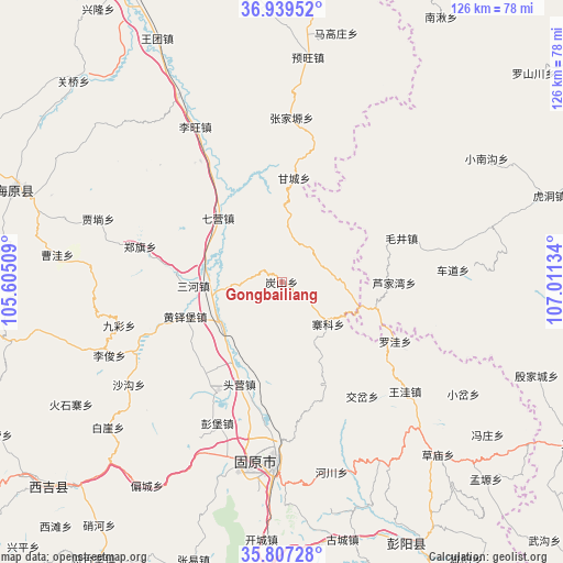
Gongbailiang GPS coordinates[2]
36° 22' 31.656" North, 106° 18' 29.556" East
| Map corner | latitude | longitude |
|---|---|---|
| Upper-left | 36.93952°, | 105.60509° |
| Center: | 36.37546°, | 106.30821° |
| Lower-right: | 35.80728°, | 107.01134° |
| Map W x H: | 125.9×125.9 km | = 78.2×78.2mi |
| max Lat: | 53.31946° ⇑22.1% North |
| Gongbailiang: | 36.37546° |
| min Lat: | ⇓77.9% South 18.22056° |
| min Long | Gongbailiang | max Long |
| 75.07348° | 106.30821° | 134.28917° |
| W 14.2%⇐ | ⇒85.8% E |
Elevation
Elevation of Gongbailiang is 2006 m = 6581 ft, and this is 1521.2 m = 4991 ft above average elevation for this country.
| Max E: |
5622 m = 18445 ft | 5.3% |
| Gongbailiang | 2006 m 6581 ft | |
| Avg. | 484.8 m = 1591 ft | |
Min E: |
-3 m = -10 ft | 94.7% |
See also: China elevation on elevation.city.
Geographical zone
Gongbailiang is located in North temperate zone (between Tropic of Cancer and the Arctic Circle). Distance of this Northern Tropic circle is 1438.7 km =894 mi to South.| Distance of | km | miles | from Gongbailiang |
|---|---|---|---|
| North Pole | 5962.5 | 3704.9 | to North |
| Arctic Circle | 3356.6 | 2085.7 | to North |
| Tropic Cancer | 1438.7 | 894 | to South |
| Equator | 4044.6 | 2513.2 | to South |


Nearby cities:
15 places around Gongbailiang: (largest is in red/bold)
• Gancheng
24.2 km =15 mi,  6°
6°
• Gaotai
10.2 km =6.3 mi,  37°
37°
• Guanting
25.5 km =15.8 mi,  157°
157°
• Heicheng
19.9 km =12.4 mi,  268°
268°
• Huangduobu
23 km =14.3 mi,  250°
250°
• Lujiawan
24.6 km =15.3 mi,  90°
90°
• Luowa
27.6 km =17.1 mi,  117°
117°
• Maqu
14.5 km =9 mi,  80°
80°
• Qiying
20.1 km =12.5 mi,  314°
314°
• Sanying
17.2 km =10.7 mi,  232°
232°
• Tanshan
0.4 km =0.2 mi,  303°
303°
• Touying
24.8 km =15.4 mi,  198°
198°
• Xinshan
6.7 km =4.2 mi,  109°
109°
• Yanglang
20.8 km =12.9 mi,  216°
216°
• Zhaike
13.9 km =8.6 mi,  132°
132°
Sources, notices
• [Note1] Compared only with cities in China existing in our database
• [Src1] Map data: © OpenStreetMap contributors (CC-BY-SA)
• [Src2] Other city data from geonames.org with taken over terms of usage.
• [Src3] Geographical zone / Annual Mean Temperature by Robert A. Rohde @ Wikipedia
