Shizi geodata
Shizi (Jiangxi) is a seat of a fourth-order administrative division; located in China in Asia/Shanghai (GMT+8) time zone. In our database, there are 1268 cities with bigger population. Compared to other cities in China, 58.6% of cities are located further ↑North; 59.1% of cities are located further ←West and 73% of cities have higher elevation than Shizi. Note1


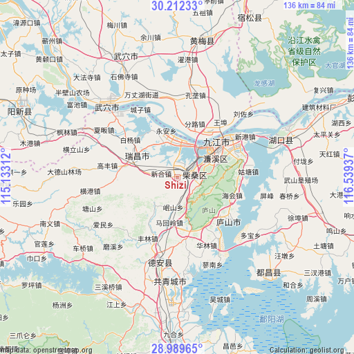
Shizi GPS coordinates[2]
29° 36' 10.224" North, 115° 50' 10.464" East
| Map corner | latitude | longitude |
|---|---|---|
| Upper-left | 30.21233°, | 115.13312° |
| Center: | 29.60284°, | 115.83624° |
| Lower-right: | 28.98965°, | 116.53937° |
| Map W x H: | 135.9×135.9 km | = 84.4×84.4mi |
| max Lat: | 53.31946° ⇑58.6% North |
| Shizi: | 29.60284° |
| min Lat: | ⇓41.4% South 18.22056° |
| min Long | Shizi | max Long |
| 75.07348° | 115.83624° | 134.28917° |
| W 59.1%⇐ | ⇒40.9% E |
Elevation
Elevation of Shizi is 42 m = 138 ft, and this is 442.8 m = 1453 ft below average elevation for this country.
| Max E: |
5622 m = 18445 ft | 73% |
| Avg. | 484.8 m = 1591 ft | |
| Shizi | 42 m = 138 ft | |
Min E: |
-3 m = -10 ft | 27% |
See also: China elevation on elevation.city.
Geographical zone
Shizi is located in North temperate zone (between Tropic of Cancer and the Arctic Circle). Distance of this Northern Tropic circle is 685.6 km =426 mi to South.| Distance of | km | miles | from Shizi |
|---|---|---|---|
| North Pole | 6715.5 | 4172.8 | to North |
| Arctic Circle | 4109.6 | 2553.6 | to North |
| Tropic Cancer | 685.6 | 426 | to South |
| Equator | 3291.5 | 2045.2 | to South |


Nearby cities:
15 places around Shizi: (largest is in red/bold)
• Chengmen
5.1 km =3.2 mi,  332°
332°
• Gangkoujie
14.6 km =9.1 mi,  338°
338°
• Guling
14 km =8.7 mi,  105°
105°
• Jiujiang
19.6 km =12.2 mi,  54°
54°
• Lianhua
14.5 km =9 mi,  72°
72°
• Linquan
19 km =11.8 mi,  213°
213°
• Mahuiling
17.7 km =11 mi,  190°
190°
• Minshan
13.7 km =8.5 mi,  218°
218°
• Saiyang
8.9 km =5.5 mi, 107°
• Shahejie
5 km =3.1 mi,  83°
83°
• Wenquan
21.4 km =13.3 mi,  166°
166°
• Xinhe
6.8 km =4.2 mi,  286°
286°
• Xintang
12 km =7.5 mi,  278°
278°
• Yongquan
16.2 km =10.1 mi, 275°
• Yong’an
18.6 km =11.6 mi,  346°
346°
Sources, notices
• [Note1] Compared only with cities in China existing in our database
• [Src1] Map data: © OpenStreetMap contributors (CC-BY-SA)
• [Src2] Other city data from geonames.org with taken over terms of usage.
• [Src3] Geographical zone / Annual Mean Temperature by Robert A. Rohde @ Wikipedia
