Quankou geodata
Quankou (Jiangxi) is a seat of a fourth-order administrative division; located in China in Asia/Shanghai (GMT+8) time zone. In our database, there are 1268 cities with bigger population. Compared to other cities in China, 59.8% of cities are located further ↑North; 54.5% of cities are located further ←West and 54% of cities have higher elevation than Quankou. Note1


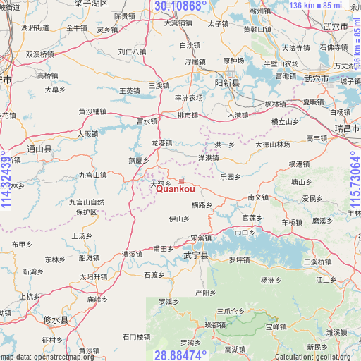
Quankou GPS coordinates[2]
29° 29' 54.816" North, 115° 1' 39.036" East
| Map corner | latitude | longitude |
|---|---|---|
| Upper-left | 30.10868°, | 114.32439° |
| Center: | 29.49856°, | 115.02751° |
| Lower-right: | 28.88474°, | 115.73064° |
| Map W x H: | 136.1×136.1 km | = 84.6×84.6mi |
| max Lat: | 53.31946° ⇑59.8% North |
| Quankou: | 29.49856° |
| min Lat: | ⇓40.2% South 18.22056° |
| min Long | Quankou | max Long |
| 75.07348° | 115.02751° | 134.28917° |
| W 54.5%⇐ | ⇒45.5% E |
Elevation
Elevation of Quankou is 137 m = 449 ft, and this is 347.8 m = 1141 ft below average elevation for this country.
| Max E: |
5622 m = 18445 ft | 54% |
| Avg. | 484.8 m = 1591 ft | |
| Quankou | 137 m = 449 ft | |
Min E: |
-3 m = -10 ft | 46% |
See also: China elevation on elevation.city.
Geographical zone
Quankou is located in North temperate zone (between Tropic of Cancer and the Arctic Circle). Distance of this Northern Tropic circle is 674 km =418.8 mi to South.| Distance of | km | miles | from Quankou |
|---|---|---|---|
| North Pole | 6727.1 | 4180 | to North |
| Arctic Circle | 4121.2 | 2560.8 | to North |
| Tropic Cancer | 674 | 418.8 | to South |
| Equator | 3279.9 | 2038 | to South |


Nearby cities:
15 places around Quankou: (largest is in red/bold)
• Dadong
7.6 km =4.7 mi,  261°
261°
• Futian
26.5 km =16.5 mi,  194°
194°
• Henglu
12.2 km =7.6 mi,  139°
139°
• Honggangshan
15.5 km =9.6 mi,  278°
278°
• Hongyi
21.6 km =13.4 mi,  50°
50°
• Leyuan
18.6 km =11.6 mi,  84°
84°
• Longgang
16 km =9.9 mi,  332°
332°
• Luxi
21.1 km =13.1 mi,  109°
109°
• Nanyi
29.4 km =18.3 mi,  100°
100°
• Paishi
25 km =15.5 mi,  5°
5°
• Songxi
22.7 km =14.1 mi,  160°
160°
• Xinning
29.6 km =18.4 mi,  166°
166°
• Yanggang
13.8 km =8.6 mi, 50°
• Yanxia
17.8 km =11.1 mi,  296°
296°
• Zhaochen
17.9 km =11.1 mi,  58°
58°
Sources, notices
• [Note1] Compared only with cities in China existing in our database
• [Src1] Map data: © OpenStreetMap contributors (CC-BY-SA)
• [Src2] Other city data from geonames.org with taken over terms of usage.
• [Src3] Geographical zone / Annual Mean Temperature by Robert A. Rohde @ Wikipedia
