Chaoyang geodata
Chaoyang (Liaoning) is a seat of a fourth-order administrative division; located in China in Asia/Shanghai (GMT+8) time zone. In our database, there are 1268 cities with bigger population. Compared to other cities in China, 88% of cities are located further ↓South; 93.3% of cities are located further ←West and 60.6% of cities have higher elevation than Chaoyang. Note1


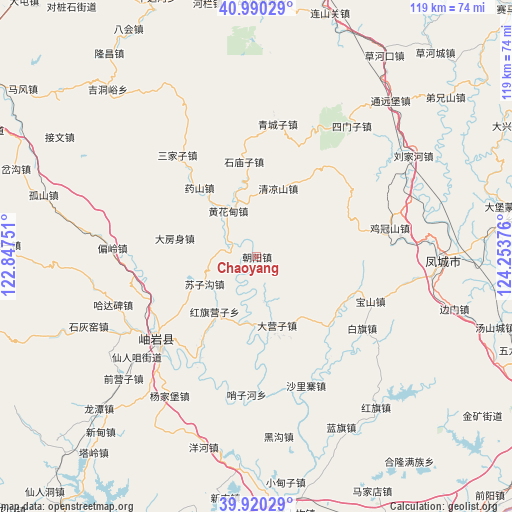
Chaoyang GPS coordinates[2]
40° 27' 26.712" North, 123° 33' 2.268" East
| Map corner | latitude | longitude |
|---|---|---|
| Upper-left | 40.99029°, | 122.84751° |
| Center: | 40.45742°, | 123.55063° |
| Lower-right: | 39.92029°, | 124.25376° |
| Map W x H: | 119×119 km | = 73.9×73.9mi |
| max Lat: | 53.31946° ⇑12% North |
| Chaoyang: | 40.45742° |
| min Lat: | ⇓88% South 18.22056° |
| min Long | Chaoyang | max Long |
| 75.07348° | 123.55063° | 134.28917° |
| W 93.3%⇐ | ⇒6.7% E |
Elevation
Elevation of Chaoyang is 95 m = 312 ft, and this is 389.8 m = 1279 ft below average elevation for this country.
| Max E: |
5622 m = 18445 ft | 60.6% |
| Avg. | 484.8 m = 1591 ft | |
| Chaoyang | 95 m = 312 ft | |
Min E: |
-3 m = -10 ft | 39.4% |
See also: China elevation on elevation.city.
Geographical zone
Chaoyang is located in North temperate zone (between Tropic of Cancer and the Arctic Circle). Distance of this Northern Tropic circle is 1892.5 km =1175.9 mi to South.| Distance of | km | miles | from Chaoyang |
|---|---|---|---|
| North Pole | 5508.6 | 3422.9 | to North |
| Arctic Circle | 2902.7 | 1803.7 | to North |
| Tropic Cancer | 1892.5 | 1175.9 | to South |
| Equator | 4498.4 | 2795.2 | to South |


Nearby cities:
15 places around Chaoyang: (largest is in red/bold)
• Baiqi
29.6 km =18.4 mi,  123°
123°
• Baoshan
28.3 km =17.6 mi,  111°
111°
• Dafangshen
19.1 km =11.9 mi,  282°
282°
• Dayingzi
16.6 km =10.3 mi,  163°
163°
• Hanghuadian
13 km =8.1 mi,  328°
328°
• Hongqi Yingzi
16.7 km =10.4 mi,  215°
215°
• Jiguanshan
31.6 km =19.6 mi,  77°
77°
• Jiucaigou
21 km =13 mi,  314°
314°
• Qingchengzi
30.7 km =19.1 mi,  8°
8°
• Sanjiazi
29.9 km =18.6 mi,  321°
321°
• Shimiaozi
22.4 km =13.9 mi,  352°
352°
• Suzigou
13.6 km =8.5 mi,  242°
242°
• Tanggou
16.7 km =10.4 mi,  17°
17°
• Xinglong
28.1 km =17.5 mi,  233°
233°
• Xiuyan
29.7 km =18.5 mi, 231°
Sources, notices
• [Note1] Compared only with cities in China existing in our database
• [Src1] Map data: © OpenStreetMap contributors (CC-BY-SA)
• [Src2] Other city data from geonames.org with taken over terms of usage.
• [Src3] Geographical zone / Annual Mean Temperature by Robert A. Rohde @ Wikipedia
