Gapu geodata
Gapu (Tibet) is a seat of a fourth-order administrative division; located in China in Asia/Shanghai (GMT+8) time zone. In our database, there are 1268 cities with bigger population. Compared to other cities in China, 67.4% of cities are located further ↑North; 97.6% of cities are located further →East and 99.2% of cities have lower elevation than Gapu. Note1


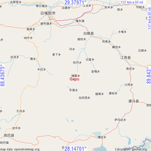
Gapu GPS coordinates[2]
28° 45' 54.648" North, 89° 8' 23.532" East
| Map corner | latitude | longitude |
|---|---|---|
| Upper-left | 29.37971°, | 88.43675° |
| Center: | 28.76518°, | 89.13987° |
| Lower-right: | 28.14701°, | 89.843° |
| Map W x H: | 137.1×137.1 km | = 85.2×85.2mi |
| max Lat: | 53.31946° ⇑67.4% North |
| Gapu: | 28.76518° |
| min Lat: | ⇓32.6% South 18.22056° |
| min Long | Gapu | max Long |
| 75.07348° | 89.13987° | 134.28917° |
| W 2.4%⇐ | ⇒97.6% E |
Elevation
Elevation of Gapu is 4291 m = 14078 ft, and this is 3806.2 m = 12488 ft above average elevation for this country.
| Max E: |
5622 m = 18445 ft | 0.8% |
| Gapu | 4291 m 14078 ft | |
| Avg. | 484.8 m = 1591 ft | |
Min E: |
-3 m = -10 ft | 99.2% |
See also: China elevation on elevation.city.
Geographical zone
Gapu is located in North temperate zone (between Tropic of Cancer and the Arctic Circle). Distance of this Northern Tropic circle is 592.5 km =368.2 mi to South.| Distance of | km | miles | from Gapu |
|---|---|---|---|
| North Pole | 6808.7 | 4230.7 | to North |
| Arctic Circle | 4202.8 | 2611.5 | to North |
| Tropic Cancer | 592.5 | 368.2 | to South |
| Equator | 3198.4 | 1987.4 | to South |


Nearby cities:
15 places around Gapu: (largest is in red/bold)
• Dazi
44.6 km =27.7 mi,  40°
40°
• Dongxi
13 km =8.1 mi,  188°
188°
• Duqiong
31.7 km =19.7 mi,  19°
19°
• Jiakexi
20.1 km =12.5 mi,  162°
162°
• Kamru
37.5 km =23.3 mi,  115°
115°
• Kangzhuo
37.3 km =23.2 mi,  68°
68°
• Luojiang
39.8 km =24.7 mi, 17°
• Ma Xiang
24.7 km =15.3 mi,  352°
352°
• Qiangdui
42.1 km =26.2 mi,  31°
31°
• Rasog
42.2 km =26.2 mi, 41°
• Rixing
20.1 km =12.5 mi, 40°
• Wangdain
11.4 km =7.1 mi,  6°
6°
• Xiongzhang
27.2 km =16.9 mi,  127°
127°
• Zhongzi
42.3 km =26.3 mi,  47°
47°
• Zijin
42 km =26.1 mi, 65°
Sources, notices
• [Note1] Compared only with cities in China existing in our database
• [Src1] Map data: © OpenStreetMap contributors (CC-BY-SA)
• [Src2] Other city data from geonames.org with taken over terms of usage.
• [Src3] Geographical zone / Annual Mean Temperature by Robert A. Rohde @ Wikipedia
