Ma Xiang geodata
Ma Xiang (Tibet) is a seat of a fourth-order administrative division; located in China in Asia/Shanghai (GMT+8) time zone. In our database, there are 1268 cities with bigger population. Compared to other cities in China, 65.6% of cities are located further ↑North; 97.6% of cities are located further →East and 98.8% of cities have lower elevation than Ma Xiang. Note1


Ma Xiang GPS coordinates[2]
28° 59' 7.368" North, 89° 6' 19.98" East
| Map corner | latitude | longitude |
|---|---|---|
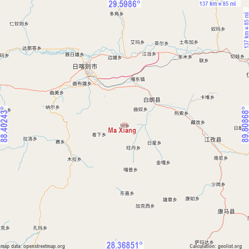
| Upper-left | 29.5986°, | 88.40243° |
| Center: | 28.98538°, | 89.10555° |
| Lower-right: | 28.36851°, | 89.80868° |
| Map W x H: | 136.8×136.8 km | = 85×85mi |
| max Lat: | 53.31946° ⇑65.6% North |
| Ma Xiang: | 28.98538° |
| min Lat: | ⇓34.4% South 18.22056° |
| min Long | Ma Xiang | max Long |
| 75.07348° | 89.10555° | 134.28917° |
| W 2.4%⇐ | ⇒97.6% E |
Elevation
Elevation of Ma Xiang is 4108 m = 13478 ft, and this is 3623.2 m = 11887 ft above average elevation for this country.
| Max E: |
5622 m = 18445 ft | 1.2% |
| Ma Xiang | 4108 m 13478 ft | |
| Avg. | 484.8 m = 1591 ft | |
Min E: |
-3 m = -10 ft | 98.8% |
See also: China elevation on elevation.city.
Geographical zone
Ma Xiang is located in North temperate zone (between Tropic of Cancer and the Arctic Circle). Distance of this Northern Tropic circle is 617 km =383.4 mi to South.| Distance of | km | miles | from Ma Xiang |
|---|---|---|---|
| North Pole | 6784.2 | 4215.5 | to North |
| Arctic Circle | 4178.3 | 2596.3 | to North |
| Tropic Cancer | 617 | 383.4 | to South |
| Equator | 3222.9 | 2002.6 | to South |


Nearby cities:
15 places around Ma Xiang: (largest is in red/bold)
• Bazha
22.4 km =13.9 mi,  8°
8°
• Bianxiong
37.5 km =23.3 mi,  351°
351°
• Dazi
33.6 km =20.9 mi,  73°
73°
• Dongxi
37.4 km =23.2 mi,  177°
177°
• Duqiong
14.9 km =9.3 mi, 68°
• Gadong
26.2 km =16.3 mi,  15°
15°
• Gapu
24.7 km =15.3 mi,  172°
172°
• Luobuqiongzi
24.6 km =15.3 mi,  34°
34°
• Luojiang
20.4 km =12.7 mi,  49°
49°
• Qiangdui
27.8 km =17.3 mi, 65°
• Rasog
32.2 km =20 mi,  77°
77°
• Rikaze
36.5 km =22.7 mi,  323°
323°
• Rixing
18.9 km =11.7 mi,  119°
119°
• Wangdain
14 km =8.7 mi,  160°
160°
• Zhongzi
34.7 km =21.6 mi, 83°
Sources, notices
• [Note1] Compared only with cities in China existing in our database
• [Src1] Map data: © OpenStreetMap contributors (CC-BY-SA)
• [Src2] Other city data from geonames.org with taken over terms of usage.
• [Src3] Geographical zone / Annual Mean Temperature by Robert A. Rohde @ Wikipedia
