Xiongzhang geodata
Xiongzhang (Tibet) is a seat of a fourth-order administrative division; located in China in Asia/Shanghai (GMT+8) time zone. In our database, there are 1268 cities with bigger population. Compared to other cities in China, 68.7% of cities are located further ↑North; 97.5% of cities are located further →East and 99.6% of cities have lower elevation than Xiongzhang. Note1


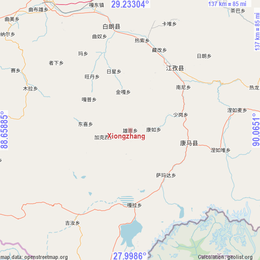
Xiongzhang GPS coordinates[2]
28° 37' 3.468" North, 89° 21' 43.092" East
| Map corner | latitude | longitude |
|---|---|---|
| Upper-left | 29.23304°, | 88.65885° |
| Center: | 28.61763°, | 89.36197° |
| Lower-right: | 27.9986°, | 90.0651° |
| Map W x H: | 137.3×137.3 km | = 85.3×85.3mi |
| max Lat: | 53.31946° ⇑68.7% North |
| Xiongzhang: | 28.61763° |
| min Lat: | ⇓31.3% South 18.22056° |
| min Long | Xiongzhang | max Long |
| 75.07348° | 89.36197° | 134.28917° |
| W 2.5%⇐ | ⇒97.5% E |
Elevation
Elevation of Xiongzhang is 4499 m = 14760 ft, and this is 4014.2 m = 13170 ft above average elevation for this country.
| Max E: |
5622 m = 18445 ft | 0.40000000000001% |
| Xiongzhang | 4499 m 14760 ft | |
| Avg. | 484.8 m = 1591 ft | |
Min E: |
-3 m = -10 ft | 99.6% |
See also: China elevation on elevation.city.
Geographical zone
Xiongzhang is located in North temperate zone (between Tropic of Cancer and the Arctic Circle). Distance of this Northern Tropic circle is 576.1 km =358 mi to South.| Distance of | km | miles | from Xiongzhang |
|---|---|---|---|
| North Pole | 6825.1 | 4240.9 | to North |
| Arctic Circle | 4219.2 | 2621.7 | to North |
| Tropic Cancer | 576.1 | 358 | to South |
| Equator | 3182 | 1977.2 | to South |


Nearby cities:
15 places around Xiongzhang: (largest is in red/bold)
• Dongxi
23.9 km =14.9 mi,  278°
278°
• Gala
39.5 km =24.5 mi,  177°
177°
• Gapu
27.2 km =16.9 mi,  307°
307°
• Jangra
37.8 km =23.5 mi,  32°
32°
• Jiakexi
15.8 km =9.8 mi,  259°
259°
• Jiangzi
40.8 km =25.4 mi, 34°
• Kamru
12.3 km =7.6 mi,  87°
87°
• Kangmar
31.7 km =19.7 mi,  101°
101°
• Kangzhuo
32.8 km =20.4 mi,  23°
23°
• Nanni
36.4 km =22.6 mi,  50°
50°
• Niandui
41.9 km =26 mi,  43°
43°
• Rixing
32.7 km =20.3 mi,  344°
344°
• Samada
30.4 km =18.9 mi,  141°
141°
• Wangdain
34.4 km =21.4 mi,  323°
323°
• Zijin
37.6 km =23.4 mi, 26°
Sources, notices
• [Note1] Compared only with cities in China existing in our database
• [Src1] Map data: © OpenStreetMap contributors (CC-BY-SA)
• [Src2] Other city data from geonames.org with taken over terms of usage.
• [Src3] Geographical zone / Annual Mean Temperature by Robert A. Rohde @ Wikipedia
