Liuxiang geodata
Liuxiang (Shanxi) is a seat of a third-order administrative division; located in China in Asia/Shanghai (GMT+8) time zone. In our database, there are 1268 cities with bigger population. Compared to other cities in China, 80.7% of cities are located further ↓South; 59.7% of cities are located further →East and 82.2% of cities have lower elevation than Liuxiang. Note1


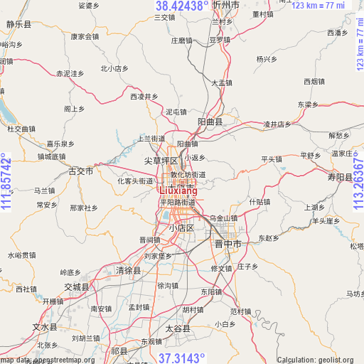
Liuxiang GPS coordinates[2]
37° 52' 17.148" North, 112° 33' 37.944" East
| Map corner | latitude | longitude |
|---|---|---|
| Upper-left | 38.42438°, | 111.85742° |
| Center: | 37.87143°, | 112.56054° |
| Lower-right: | 37.3143°, | 113.26367° |
| Map W x H: | 123.4×123.4 km | = 76.7×76.7mi |
| max Lat: | 53.31946° ⇑19.3% North |
| Liuxiang: | 37.87143° |
| min Lat: | ⇓80.7% South 18.22056° |
| min Long | Liuxiang | max Long |
| 75.07348° | 112.56054° | 134.28917° |
| W 40.3%⇐ | ⇒59.7% E |
Elevation
Elevation of Liuxiang is 799 m = 2621 ft, and this is 314.2 m = 1031 ft above average elevation for this country.
| Max E: |
5622 m = 18445 ft | 17.8% |
| Liuxiang | 799 m 2621 ft | |
| Avg. | 484.8 m = 1591 ft | |
Min E: |
-3 m = -10 ft | 82.2% |
See also: China elevation on elevation.city.
Geographical zone
Liuxiang is located in North temperate zone (between Tropic of Cancer and the Arctic Circle). Distance of this Northern Tropic circle is 1605 km =997.3 mi to South.| Distance of | km | miles | from Liuxiang |
|---|---|---|---|
| North Pole | 5796.2 | 3601.6 | to North |
| Arctic Circle | 3190.3 | 1982.4 | to North |
| Tropic Cancer | 1605 | 997.3 | to South |
| Equator | 4210.9 | 2616.5 | to South |


Nearby cities:
15 places around Liuxiang: (largest is in red/bold)
• Chaicun
10.1 km =6.3 mi,  312°
312°
• Changning
35 km =21.7 mi,  133°
133°
• Chaoyang
51.9 km =32.2 mi,  85°
85°
• Dongqu
32.1 km =19.9 mi,  279°
279°
• Dongzhao
32 km =19.9 mi, 127°
• Huangzhai
24.3 km =15.1 mi,  20°
20°
• Jinyuan
17.9 km =11.1 mi,  206°
206°
• Julun
4 km =2.5 mi,  356°
356°
• Mingxing
49.5 km =30.8 mi,  181°
181°
• Qianfeng
4.3 km =2.7 mi,  234°
234°
• Qingyuan
35 km =21.7 mi,  216°
216°
• Taiyuan
0.2 km =0.1 mi,  185°
185°
• Tianning
50.4 km =31.3 mi, 224°
• Xiaodian
15 km =9.3 mi, 181°
• Yuci
26.1 km =16.2 mi,  144°
144°
Sources, notices
• [Note1] Compared only with cities in China existing in our database
• [Src1] Map data: © OpenStreetMap contributors (CC-BY-SA)
• [Src2] Other city data from geonames.org with taken over terms of usage.
• [Src3] Geographical zone / Annual Mean Temperature by Robert A. Rohde @ Wikipedia
