Wenhua geodata
Wenhua (Chongqing) is a seat of a fourth-order administrative division; located in China in Asia/Shanghai (GMT+8) time zone. In our database, there are 1268 cities with bigger population. Compared to other cities in China, 53% of cities are located further ↓South; 81.3% of cities are located further →East and 72.3% of cities have lower elevation than Wenhua. Note1


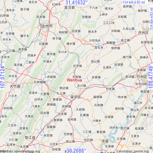
Wenhua GPS coordinates[2]
30° 48' 51.696" North, 107° 46' 27.696" East
| Map corner | latitude | longitude |
|---|---|---|
| Upper-left | 31.41632°, | 107.07124° |
| Center: | 30.81436°, | 107.77436° |
| Lower-right: | 30.2086°, | 108.47749° |
| Map W x H: | 134.3×134.3 km | = 83.5×83.5mi |
| max Lat: | 53.31946° ⇑47% North |
| Wenhua: | 30.81436° |
| min Lat: | ⇓53% South 18.22056° |
| min Long | Wenhua | max Long |
| 75.07348° | 107.77436° | 134.28917° |
| W 18.7%⇐ | ⇒81.3% E |
Elevation
Elevation of Wenhua is 460 m = 1509 ft, and this is 24.8 m = 81 ft below average elevation for this country.
| Max E: |
5622 m = 18445 ft | 27.7% |
| Avg. | 484.8 m = 1591 ft | |
| Wenhua | 460 m = 1509 ft | |
Min E: |
-3 m = -10 ft | 72.3% |
See also: China elevation on elevation.city.
Geographical zone
Wenhua is located in North temperate zone (between Tropic of Cancer and the Arctic Circle). Distance of this Northern Tropic circle is 820.3 km =509.7 mi to South.| Distance of | km | miles | from Wenhua |
|---|---|---|---|
| North Pole | 6580.8 | 4089.1 | to North |
| Arctic Circle | 3974.9 | 2469.9 | to North |
| Tropic Cancer | 820.3 | 509.7 | to South |
| Equator | 3426.2 | 2128.9 | to South |


Nearby cities:
15 places around Wenhua: (largest is in red/bold)
• Ansheng
14.7 km =9.1 mi,  200°
200°
• Chengbei
10.4 km =6.5 mi,  174°
174°
• Chengdong
15.4 km =9.6 mi,  133°
133°
• Hexing
8.9 km =5.5 mi,  150°
150°
• Lirang
19.8 km =12.3 mi,  223°
223°
• Longmen
8.5 km =5.3 mi,  257°
257°
• Longsheng
21.9 km =13.6 mi, 258°
• Mingda
14.9 km =9.3 mi,  228°
228°
• Panlong
21.2 km =13.2 mi,  160°
160°
• Renxian
19.3 km =12 mi,  208°
208°
• Wushan
21.4 km =13.3 mi,  50°
50°
• Xiaping
11.1 km =6.9 mi,  115°
115°
• Xinsheng
5.8 km =3.6 mi,  304°
304°
• Yujia
17.1 km =10.6 mi,  91°
91°
• Zhushan
21.9 km =13.6 mi,  240°
240°
Sources, notices
• [Note1] Compared only with cities in China existing in our database
• [Src1] Map data: © OpenStreetMap contributors (CC-BY-SA)
• [Src2] Other city data from geonames.org with taken over terms of usage.
• [Src3] Geographical zone / Annual Mean Temperature by Robert A. Rohde @ Wikipedia
