Shuanghuai geodata
Shuanghuai (Chongqing) is a seat of a fourth-order administrative division; located in China in Asia/Shanghai (GMT+8) time zone. In our database, there are 1268 cities with bigger population. Compared to other cities in China, 52.2% of cities are located further ↑North; 85% of cities are located further →East and 60.8% of cities have lower elevation than Shuanghuai. Note1


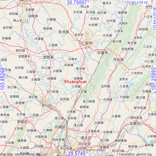
Shuanghuai GPS coordinates[2]
30° 11' 2.976" North, 106° 33' 20.88" East
| Map corner | latitude | longitude |
|---|---|---|
| Upper-left | 30.79007°, | 105.85268° |
| Center: | 30.18416°, | 106.5558° |
| Lower-right: | 29.5745°, | 107.25893° |
| Map W x H: | 135.2×135.2 km | = 84×84mi |
| max Lat: | 53.31946° ⇑52.2% North |
| Shuanghuai: | 30.18416° |
| min Lat: | ⇓47.8% South 18.22056° |
| min Long | Shuanghuai | max Long |
| 75.07348° | 106.5558° | 134.28917° |
| W 15%⇐ | ⇒85% E |
Elevation
Elevation of Shuanghuai is 268 m = 879 ft, and this is 216.8 m = 711 ft below average elevation for this country.
| Max E: |
5622 m = 18445 ft | 39.2% |
| Avg. | 484.8 m = 1591 ft | |
| Shuanghuai | 268 m = 879 ft | |
Min E: |
-3 m = -10 ft | 60.8% |
See also: China elevation on elevation.city.
Geographical zone
Shuanghuai is located in North temperate zone (between Tropic of Cancer and the Arctic Circle). Distance of this Northern Tropic circle is 750.2 km =466.2 mi to South.| Distance of | km | miles | from Shuanghuai |
|---|---|---|---|
| North Pole | 6650.9 | 4132.7 | to North |
| Arctic Circle | 4045 | 2513.4 | to North |
| Tropic Cancer | 750.2 | 466.2 | to South |
| Equator | 3356.2 | 2085.4 | to South |


Nearby cities:
15 places around Shuanghuai: (largest is in red/bold)
• Guandu
16.7 km =10.4 mi,  226°
226°
• Jindaoxia
21.9 km =13.6 mi,  155°
155°
• Laitan
6.7 km =4.2 mi,  262°
262°
• Liuyin
25.2 km =15.7 mi,  168°
168°
• Longshi
10 km =6.2 mi,  289°
289°
• Qiantang
23 km =14.3 mi,  270°
270°
• Qingping
23.3 km =14.5 mi,  188°
188°
• Sanhui
11.9 km =7.4 mi, 163°
• Shayu
19.2 km =11.9 mi, 289°
• Shitan
13.8 km =8.6 mi,  201°
201°
• Shuangfeng
21.6 km =13.4 mi,  214°
214°
• Xianglong
8.8 km =5.5 mi,  12°
12°
• Xiaojia
14.2 km =8.8 mi,  324°
324°
• Xiaomian
7.1 km =4.4 mi, 196°
• Yunmen
25 km =15.5 mi,  243°
243°
Sources, notices
• [Note1] Compared only with cities in China existing in our database
• [Src1] Map data: © OpenStreetMap contributors (CC-BY-SA)
• [Src2] Other city data from geonames.org with taken over terms of usage.
• [Src3] Geographical zone / Annual Mean Temperature by Robert A. Rohde @ Wikipedia
