Shiwan geodata
Shiwan (Chongqing) is a seat of a fourth-order administrative division; located in China in Asia/Shanghai (GMT+8) time zone. In our database, there are 1268 cities with bigger population. Compared to other cities in China, 58.4% of cities are located further ↑North; 87.2% of cities are located further →East and 62.1% of cities have lower elevation than Shiwan. Note1


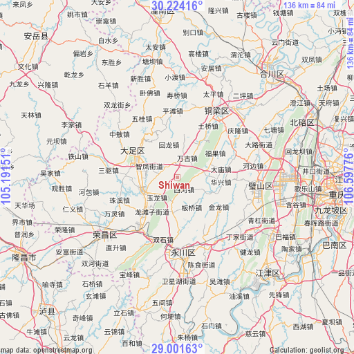
Shiwan GPS coordinates[2]
29° 36' 53.1" North, 105° 53' 40.668" East
| Map corner | latitude | longitude |
|---|---|---|
| Upper-left | 30.22416°, | 105.19151° |
| Center: | 29.61475°, | 105.89463° |
| Lower-right: | 29.00163°, | 106.59776° |
| Map W x H: | 135.9×135.9 km | = 84.4×84.4mi |
| max Lat: | 53.31946° ⇑58.4% North |
| Shiwan: | 29.61475° |
| min Lat: | ⇓41.6% South 18.22056° |
| min Long | Shiwan | max Long |
| 75.07348° | 105.89463° | 134.28917° |
| W 12.8%⇐ | ⇒87.2% E |
Elevation
Elevation of Shiwan is 285 m = 935 ft, and this is 199.8 m = 656 ft below average elevation for this country.
| Max E: |
5622 m = 18445 ft | 37.9% |
| Avg. | 484.8 m = 1591 ft | |
| Shiwan | 285 m = 935 ft | |
Min E: |
-3 m = -10 ft | 62.1% |
See also: China elevation on elevation.city.
Geographical zone
Shiwan is located in North temperate zone (between Tropic of Cancer and the Arctic Circle). Distance of this Northern Tropic circle is 686.9 km =426.8 mi to South.| Distance of | km | miles | from Shiwan |
|---|---|---|---|
| North Pole | 6714.2 | 4172 | to North |
| Arctic Circle | 4108.3 | 2552.8 | to North |
| Tropic Cancer | 686.9 | 426.8 | to South |
| Equator | 3292.9 | 2046.1 | to South |


Nearby cities:
15 places around Shiwan: (largest is in red/bold)
• Anxi
15.3 km =9.5 mi,  111°
111°
• Banqiao
12.7 km =7.9 mi,  153°
153°
• Gulong
14.5 km =9 mi,  46°
46°
• Huilong
13 km =8.1 mi,  346°
346°
• Jinshan
5.8 km =3.6 mi, 347°
• Longshui
13.9 km =8.6 mi,  246°
246°
• Longtanzi
15.8 km =9.8 mi,  216°
216°
• Sanjiao
14.3 km =8.9 mi,  190°
190°
• Shima
6.4 km =4 mi,  286°
286°
• Wangu
8.5 km =5.3 mi,  27°
27°
• Weilong
10.9 km =6.8 mi,  85°
85°
• Xihe
5.3 km =3.3 mi, 148°
• Yongjia
11.4 km =7.1 mi, 114°
• Yulong
11.2 km =7 mi,  226°
226°
• Zhifeng
11.6 km =7.2 mi, 292°
Sources, notices
• [Note1] Compared only with cities in China existing in our database
• [Src1] Map data: © OpenStreetMap contributors (CC-BY-SA)
• [Src2] Other city data from geonames.org with taken over terms of usage.
• [Src3] Geographical zone / Annual Mean Temperature by Robert A. Rohde @ Wikipedia
